
Hey there! If you’ve ever wondered how satellites capture those stunning images of Earth or how scientists figure out what’s happening on the ground from space, it all comes down to spectral bands and image interpretation. Let’s break it down in a way that’s easy to grasp.
What Are Spectral Bands?
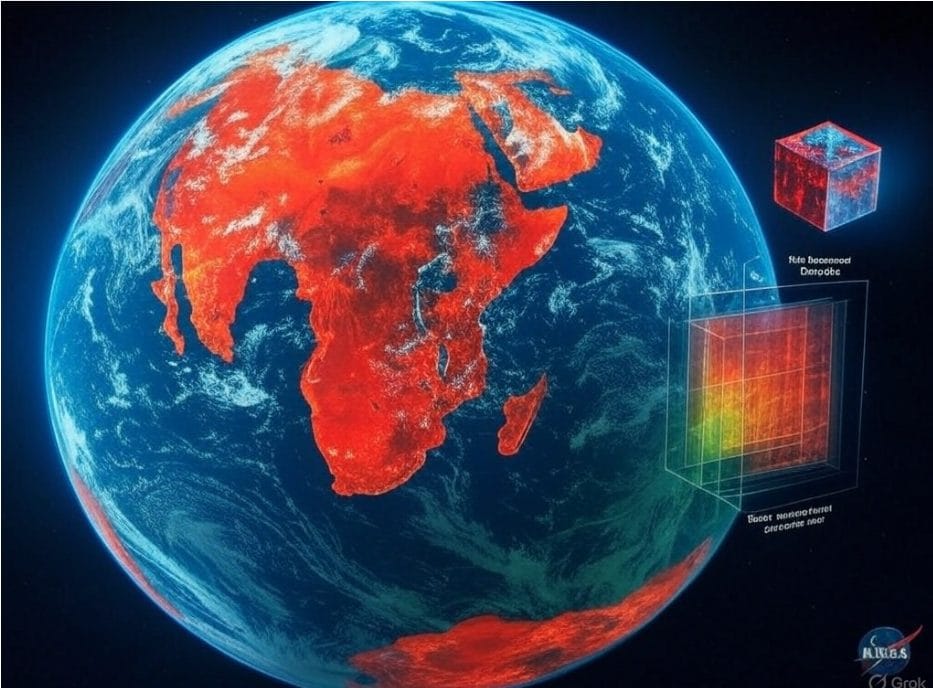
Spectral bands are like the different “colors” of light that satellites or drones pick up from the Earth. But it’s not just the red, green, and blue we see—sensors can capture everything from infrared (great for spotting healthy plants) to microwaves (handy for seeing through clouds). Each band shows a unique slice of the electromagnetic spectrum, revealing stuff our eyes can’t catch, like how much heat a city is giving off or how much water is in the soil.
How Do We Use Them?
Satellites like Landsat or Sentinel snap images across multiple bands, creating what’s called multispectral or hyperspectral data. Think of it like a layered cake—each band adds a new flavor of info. You can mix bands to make:
- True-color images that look like what we’d see.
- False-color images where forests might glow bright red to highlight vegetation.
- Indices like NDVI, which crunches numbers to show how healthy crops are.
It’s like having a superpower to see Earth’s secrets!
Decoding the Images
Interpreting these images is part science, part art. Here’s how it works:
- Know your goal: Are you checking crop health or mapping a city? This decides which bands to focus on.
- Pick your bands: Choose ones that highlight what you care about, like water or forests.
- Make composites: Combine bands to create images that pop with info.
- Enhance the image: Tweak brightness or contrast to make details stand out.
- Use tools: Indices or AI can help you classify things like “this is a forest” or “that’s a river.”
- Double-check: Compare with real-world data to make sure you’re on track.
It’s not always smooth sailing—clouds, mixed-up pixels, or massive datasets can complicate things. But with practice, it’s like reading a map of Earth’s story.
Why It Matters
This stuff is everywhere! Farmers use it to grow better crops, scientists track climate change, and cities plan smarter with it. From spotting wildfires to saving wetlands, spectral bands help us understand and protect our planet.
Wrapping Up
Spectral bands and image interpretation are like a window into Earth’s hidden details. They let us see beyond what our eyes can catch, turning light into knowledge. Whether you’re a curious beginner or a data nerd, there’s something amazing about diving into this world.


