Maps can help in spotting spatial patterns in the data so that anyone can make better decisions and see where it’s needed to make any changes. Global trends in disaster risk management indicate an increased focus on innovation, use of technology tools based on data and analytics to unlock operational efficiencies. Polosoft Technologies says “GIS mapping will be helpful in reducing the risks to a great extent and also provide you the accurate data.”
GIS strategy in this process include the following
Data Collection
The first step is to pull together all the data and then combine it with publicly available data, live data feed or data provided by other organizations. After that, a context is given to the data.
Data Analysis
The true power of this technology lies in the ability to perform analysis. Here, one can model problems geographically, derive results by computer processing, and then explore and examine those results. This type of analysis is proven to be highly effective for evaluating the geographic suitability of certain locations for specific purposes, estimating and predicting outcomes, interpreting, and understanding change.
Mapping
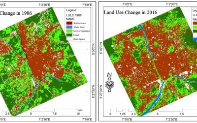
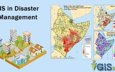
Mapping provides a visual interpretation of data. Visualization through maps is used to accomplish better land-use planning and disaster risk management. As maps help in identifying disaster-prone areas, preparations can be better, efforts can be more directed and the response would be faster.
Visualization
Visualization achieved through GIS can help in mitigating the risk of a disaster to a great extent. Identification of vulnerable areas through maps leads to smooth rescue and evacuation operations. Areas likely to remain unaffected or remain comparatively safe could be identified and even alternative routes to shelters, camps, and important locations could be worked out.
Governments and Organizations should consider taking GIS mapping services and data visualization for better strategies in disaster prevention and evacuation planning. As more and more people are realizing the importance of maps in making the world a better place, it’s essential to give them what’s needed right now. Global governments and GIS companies should work together to derive innovative tools and methods to plan an effective disaster management strategy.


