Esri, the global leader in location intelligence, today announced a joint initiative with AfroChampions, a Pan-African nonprofit that aims to promote policies that foster private-public collaboration for Africa’s economic transformation.
The goal of the initiative is to engage leaders in business, governments, the African Union, and other regional economic communities through dialogue and potential partnership building in applying geospatial technology and solutions.
This new partnership with AfroChampions seeks to contribute to sustainable economic development in Africa and promote the benefits of a shared geospatial infrastructure throughout the continent.
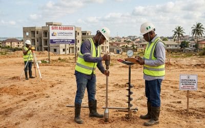
As a majority of Africans still live in rural areas, geographic information system (GIS) technology can create new growth opportunities, especially in critical fields such as health and telemedicine, land management, agriculture, and mobility.
The powerful mapping and data analytics that GIS provides forms with a foundation for some of the most successful economic strategies that nations pursue today.
This initiative will offer African governments and other organizations streamlined access to Esri’s world-leading GIS technology and expertise, in addition to a broad network of regional partners.
Over the long term, Esri’s solutions will advance projects retained as part of AfroChampions Trillion Dollar Investment Framework, a 360-degree road map officially endorsed by the African Union.
Core enablers of the AfCFTA are transportation and connectivity; the removal of non-tariff barriers; low-cost power; and enhanced value and industrialization in a modernized digital economy.
This partnership is part of Esri’s ongoing commitment to its users and the broader geospatial community across Africa. It is closely aligned with key continental initiatives such as AfCTFA; the African Development Bank Strategy for 2013–2022; the United Nations 2030 Agenda for Sustainable Development; and the African Union Agenda 2063, which emphasizes the need for global Geospatial Information for Sustainable Development (GI4SD) management.
“Esri’s support is timely,” said by Adzogenu. “It can help us in many practical ways, like compiling data, identifying best practices that can be replicated from one country to another, defining the right locations for strategic infrastructure projects, or launching cross-border renewable projects