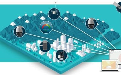
What is a Map?
Maps are graphic representations of selected Earth features. It is a symbolic depiction emphasizing relationships between elements of some space, such as objects, regions, or themes. Many maps are static, fixed to paper, or some other durable medium, while others are dynamic or interactive. A pictorial example is shown below:

What is a Photograph?
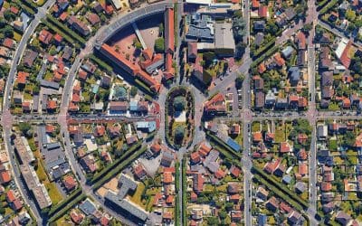
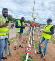
A photograph is an image created by light falling on a photosensitive surface, usually photographic film or an electronic image sensor, such as a CCD or a CMOS chip. In other terms, it is a picture made using a camera, in which an image is focused on light-sensitive material and then made visible and permanent by chemical treatment, or stored digitally. For example, Satellite images (Satellite images are digitally produced representations of Earth taken from orbiting sensing devices on satellites), Aerial photographs (Aerial photos are photographs of Earth’s surface taken from an airplane at different distances from Earth. In broad terms, it is any photograph taken from the air). Aerial photography is the production of photographic images from balloons, helicopters, or plane photographs; it’s used primarily for mapping. Pictorial examples are shown below:


The table below shows the differences between Maps and Photographs
S/N | MAPS | PHOTOGRAPHS |
1. | Represents a vertical “plan” of a region. | Presents a realistic image. |
2. | Can be represented both in raster and vector images. | Only represented in raster Images. |
3. | They are graphical representations of earth features such as a mathematical function. | A picture. |
4. | To inform someone of a particular idea. | An attractive sight. |
5. | They might even simplify information so much that they no longer show precisely where features are, but merely demonstrate the relationship between the features. For example a schematic map. | They have so much and they show precisely where features are and show the relationship between the features. Examples are aerial photographs and satellite imagery. |
6. | Represents less than a photograph. | Represents exactly what is photographed. |
REFERENCES
Difference Between Aerial Mapping and Photograph; Geoinfotech.ng
World Atlas: Maps Geography, Flags, and Facts of every country in the world; Infoplease.com