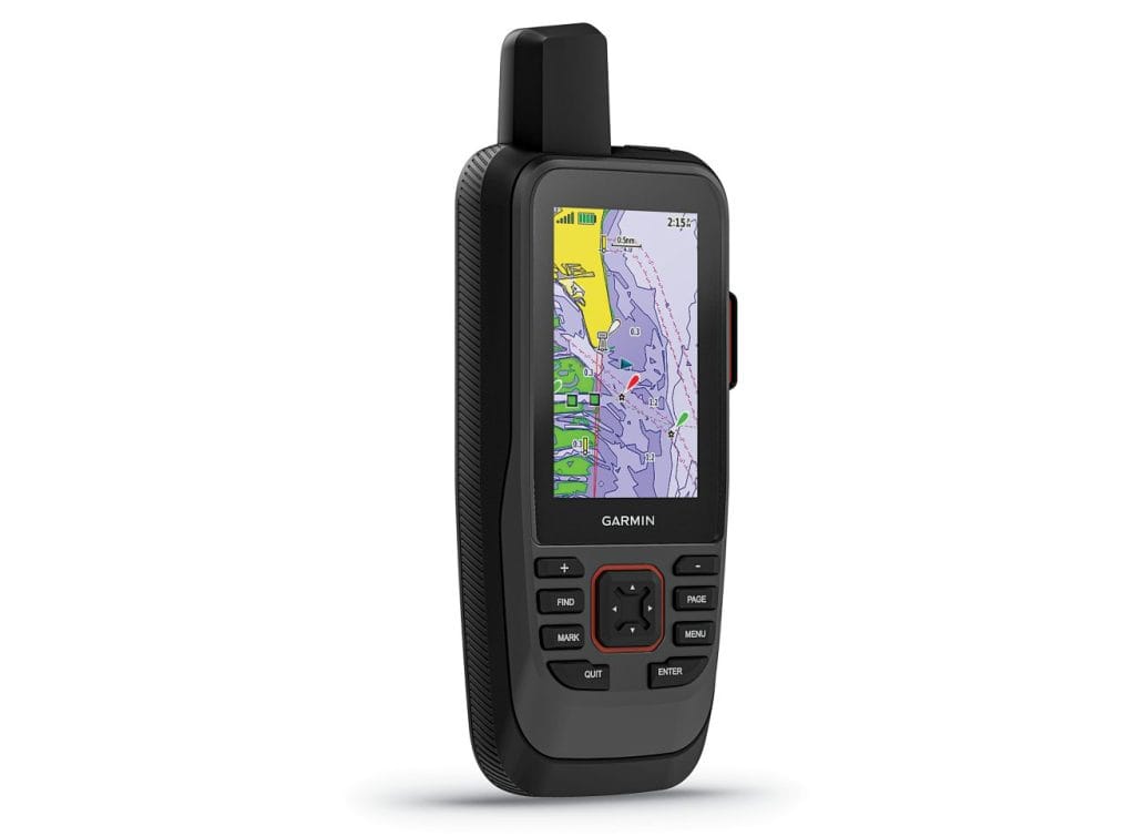
For Nigeria’s mariners, fishermen, and coastal explorers, the Garmin GPSMAP 86sci, priced at ₦580,000, is a premium marine GPS handheld with inReach satellite communication, ensuring you stay connected and on course, even off the grid. Preloaded with BlueChart g3 coastal charts and packed with robust features, this floating device is your ultimate companion for boating, fishing, and environmental missions across Nigeria’s waterways.
Advanced Navigation and Connectivity
The GPSMAP 86sci combines marine precision with global communication:
- Preloaded BlueChart g3 Charts: Offers detailed coastal mapping with Garmin and Navionics data, covering Nigeria’s Atlantic coast, Lagos lagoons, and Niger Delta channels with 1-foot contours for precise navigation.
- inReach Satellite Technology: Send and receive two-way text messages, share tracks, and trigger an interactive SOS to a 24/7 global rescue center via the Iridium network, ideal for remote waters.
- Multi-GNSS Support: Uses GPS, GLONASS, Galileo, and SBAS for accurate positioning in challenging areas like mangrove creeks or open seas.
- 3-Inch Sunlight-Readable Display: A high-resolution, fogproof color screen ensures clarity under Nigeria’s bright tropical sun.
With Wi-Fi, ANT+, and Bluetooth, it syncs with smartphones for notifications and the Garmin Explore app for cloud-based waypoint and route management.
Tailored for Nigeria’s Marine Challenges
The 86sci excels in Nigeria’s diverse aquatic environments:
- Fishing and Aquaculture: Mark and revisit prime fishing spots off Bonny or Epe with 10,000 waypoints and 250 routes, boosting yields for local fishermen.
- Coastal Navigation: Safely navigate busy ports like Apapa or intricate rivers like the Cross River, using real-time boat data from compatible Garmin chartplotters.
- Environmental Monitoring: Track mangrove health or coastal erosion in the Niger Delta, supporting conservation with precise location data and satellite messaging.
- Recreational Boating: Explore Nigeria’s scenic waterways, from Badagry lagoons to Calabar creeks, with confidence in rough seas or fog.
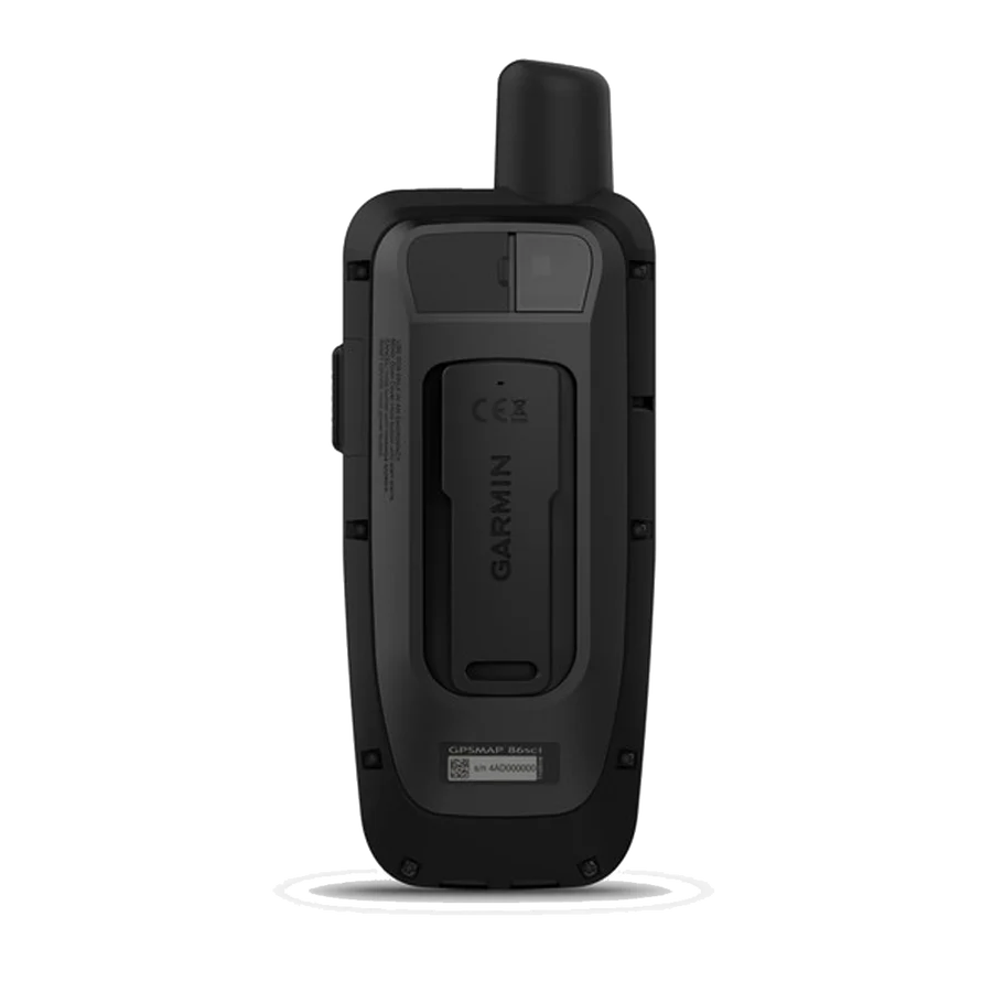
IPX7 water resistance, a floating design, and up to 35 hours of battery life (10-minute tracking mode) or 200 hours in expedition mode ensure reliability in Nigeria’s humid, salty conditions.
Smart Features for Seamless Missions
The 86sci enhances usability with:
- Chartplotter Sync: Stream real-time boat data (e.g., depth, speed) and control Garmin autopilots or FUSION stereos remotely.
- Marine Weather Forecasts: Access real-time weather updates via inReach subscriptions, aiding decision-making in unpredictable seas.
- Wireless Data Sharing: Sync waypoints and tracks with other Garmin devices for team coordination.
- Rugged Build: Withstands Nigeria’s coastal challenges, from salty spray to heavy rains.
Invest in Global Connectivity
At ₦580,000, the Garmin GPSMAP 86sci offers unmatched navigation and satellite communication for Nigerian mariners. Its robust features and coastal charts deliver safety and efficiency on every voyage.
Order Yours Today
Ready to navigate with confidence?