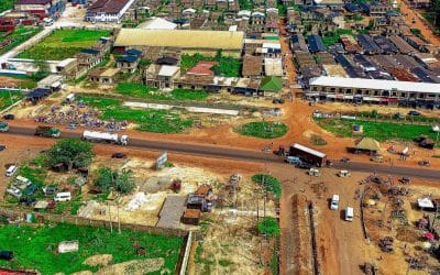
Efficient site supervision is the backbone of every successful construction project—especially in a fast-developing country like Nigeria, where infrastructure growth is racing to keep up with urbanisation, population growth, and shifting climate demands. From Lagos to Abuja, drone-based remote sensing is quietly reshaping how construction professionals monitor and manage their worksites.
Real-Time Aerial Monitoring
Gone are the days when supervisors had to rely solely on boots-on-ground inspections to monitor project timelines. With drones capturing high-resolution images and videos from above, site managers now get an up-to-date bird’s-eye view of progress. This kind of visibility ensures everyone stays aligned with project targets and helps resolve bottlenecks early—whether it’s a delay in materials delivery or unexpected terrain issues.
Smarter Decision-Making Through Data
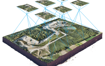
What makes drone-based remote sensing especially powerful is its ability to go beyond the visual. By equipping drones with sensors like LiDAR and multispectral cameras, supervisors can generate 3D models of the terrain, detect elevation changes, and monitor soil movement. In a country where weather patterns can be unpredictable and soil conditions vary regionally, this level of detail is vital for informed decision-making.
Improved Safety and Access
Many construction sites in Nigeria—such as those in riverine or elevated areas—are difficult to access. Drones take the risk out of inspecting unstable slopes, high-rise structures, and areas with limited visibility. This reduces exposure to accidents and allows supervisors to remotely assess critical areas without interrupting workflows or endangering crew members.
Streamlined Reporting and Collaboration
Drone-based imagery makes it easier to document progress and share findings with stakeholders across various locations. For government infrastructure projects or PPPs (Public-Private Partnerships), this transparency can be a game changer—providing visual evidence of milestones, validating compliance, and building trust between contractors, regulators, and communities.
Budget Control and Reduced Waste
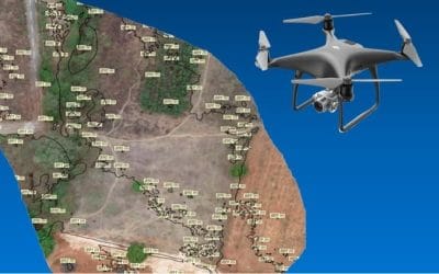
By regularly mapping and measuring stockpiles and site layouts, drone-collected remote sensing data helps ensure that materials are used efficiently. In markets where rising costs of cement, aggregate, and steel are constant concerns, this efficiency has real financial impact. Accurate data translates to smarter inventory management, fewer ordering errors, and less overall waste.
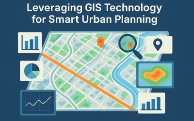
A Step Toward Smarter Cities
Drone integration into site supervision signals a broader digital transformation across Nigeria’s construction sector. As cities like Lagos and Port Harcourt push for smarter, more sustainable development, adopting drone-based remote sensing will no longer be optional—it’ll be essential.
Whether it’s a residential estate in Lekki or a highway project in Ogun State, the role of drones and remote sensing in site supervision is clear: faster insights, greater safety, and better control from planning to handover. For Nigerian construction teams navigating complex terrain and tight timelines, that could be the edge they’ve been looking for.


