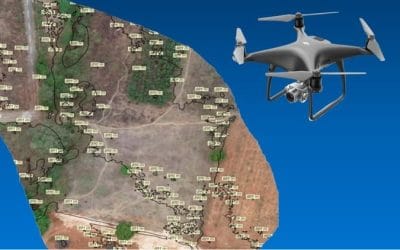
The need of drone is rapidly in use due to the various applications it tends to offer. And so, hopefully, by the year 2040, its applications will be amounting to a few hundred.
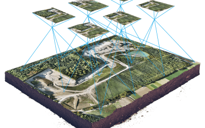
Wide-area coverage of remote sensors and the high levels of detail and accuracy of ground surveying, at a low cost, could be attained with the introduction of an unmanned aerial vehicle- (UAV-) based monitoring system that is developed. The UAV takes its form just like a helicopter and all the measurement tools are mounted under it to acquire detailed information from low altitudes, unlike high-altitude systems in satellites or aeroplanes.
The monitoring is carried out from the sky, but the spatial and temporal resolutions are freely selected near the ground. The data can be easily acquired collectively with safety and mobility by the utilization of a Sensor Web.
A sensor web is a group or system of sensors, which connect by using a communication infrastructure to exchange information as a sensor network.
Types of drone sensors
- Speed and Distance Sensors
- Infrared and Thermal sensors
- Image sensors
- Image sensors
General applications of drone Sensors
- Aerial Photography
- Shipping and Delivery
- Geographic Mapping
- Disaster Management
- Precision Agriculture
- Search and Rescue
- Weather Forecast
- Wildlife Monitoring
- Law Enforcement


