
In this blog post, we would be discussing about where you can professionally learn about Drones, GIS, and Surveying in Nigeria. Let’s briefly highlight the three major aforementioned subjects stated above before we proceed any further.
What is a drone?
A drone is an area vehicle that receives remote commands from a pilot or relies on a software for autonomous flight. It’s also known as unmanned aerial vehicle (UAV).
Uses of Drone
The use of drone is employed in different major walk of life in todays world¸ ranging from Agriculture to film, photography and entertainment industry, Delivery and emergency purposes as well as security management etc. It is obvious that before you can make use of drones in the above-mentioned fields, you need to be properly trained on how to fly and maintain a drone in order to avoid crashing it.
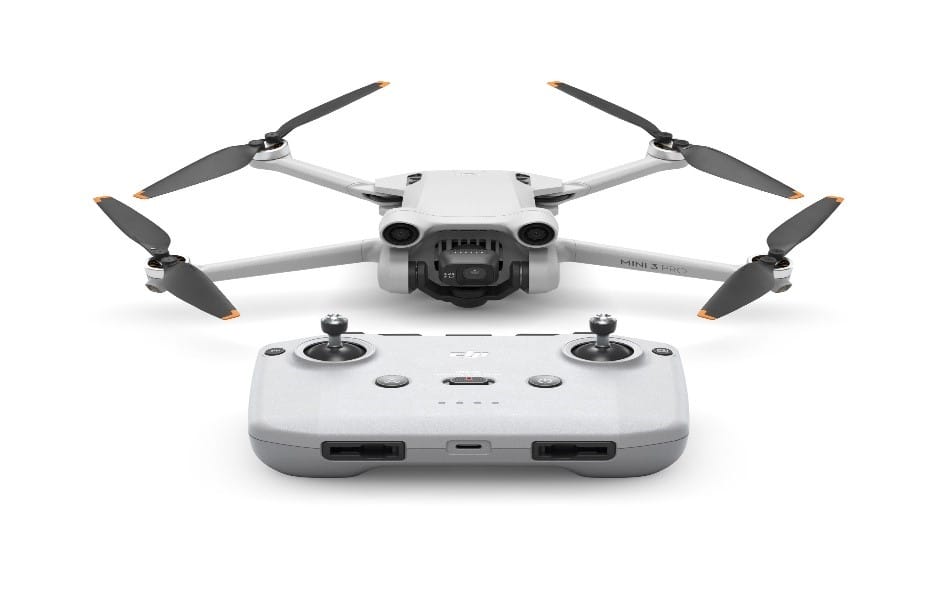 A DJI MINI 3 PRO Drone
What is GIS?
A geographic information system (GIS) is a system designed to capture, store, manipulate, analyse, manage, and present all types of geographical data. GIS can be used as tool in both problem solving and decision-making processes, as well as for visualization of data in a spatial environment.
Uses of GIS
GIS is used by hundreds of thousands of organisations in virtually every field. Some of the ways GIS is used today includes the following
- Making maps that communicate
- Performing analysis
- Sharing information
- Solving complex problems
- Planning where to build the next school or shopping centre
- Identifying critical areas for environmental protection
- Supporting military efforts both locally and abroad
- Enabling strategic business decisions in areas such as transportation and delivery management, real estate portfolio management, customer segmentation and more.
What is Surveying?
Surveying is the technique, profession, art, and science of determining the terrestrial two-dimensional or three-dimensional positions of points and the distances and angles between them.
Types of survey
- Plane surveying: Plane surveying is useful in small areas on the surface of land assuming the surface of the land to be plane and curvature of land is not considered.
- Geodetic surveying: Geodetic surveying is useful in large areas on the surface of land, so curvature of land has to be considered.
Uses and purposes of surveying
- Setting out work and transferring details from drawing to field.
- Planning navigation routes for marine and hydrographic purposes.
- Creating military maps.
- Exploring mineral wealth through mine surveying.
- Determining different strata in the Earth’s crust through geological surveying.
- Preparing cadastral maps for dividing boundaries and property lines.
- Assisting in public safety planning and military strategic planning.
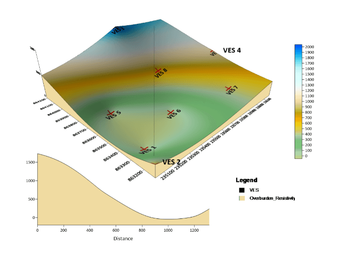 A GEOLOGICAL REPORT ON A MINING/EXPLORATION SURVEY
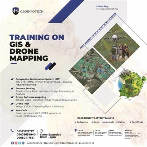
Companies that offer professional trainings on Drone/GIS/Survey in Nigeria?
If not every time, you must have occasionally asked yourself the above question several times without an answer. Well, here is the good news! We at Geoinfotech resources limited are here to provide answers to your questions.
Geoinfotech is a leading provider of commercial drone services in Nigeria. We offer extensive hands-on practical training in areas such as drone operation, Surveying, GIS, remote sensing, GPS, Python development, and advanced analysis tools. We also provide online training for convenience and accessibility.
At Geoinfotech resources limited we have trained experts that are well equipped to teach, guide and train you on any of the specific field of your choice mentioned above.


