Certified Training on GIS
Professional Certified Training
Certified Training on GIS
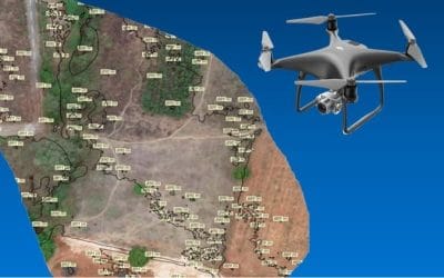
Geoinfotech has evolved in the geoinformatics industry which has advanced to an innovative upgrade for Specialized GIS, Drone Mapping, Remote Sensing and AutoCAD Training, and Nigeria are known as to progress in the development and use of Geospatial technologies. We offer:
- GIS related Programs
- Drone Pilot and Drone Mapping
- AutoCAD Scripting and
- Remote Sensing Training
We Focused majorly on practicals and Field Exercises to get the best experience and knowledge of the training, you can browse to know more about our training programs


