
The rapid evolution of geospatial technology over the last decade has made one thing clear: the future of mapping will be shaped by the fusion of intelligent systems and autonomous sensing. Drones revolutionized how we collect data, but Geo-AI is redefining how we interpret it. Together, they are creating a new era of smarter, faster, and more analytical mapping, an era where insights matter more than imagery, and decisions can be made with unprecedented accuracy.
Across Africa, this combination is already reshaping critical sectors. From precision agriculture to climate resilience, urban development, infrastructure management, and environmental protection, organizations are beginning to realize that traditional mapping alone cannot keep pace with the speed, scale, and complexity of modern challenges. Geo-AI, built specifically for interpreting spatial data, bridges this gap by turning raw drone imagery into actionable intelligence.
The Shift Toward Automated, High-Resolution Intelligence
One of the most significant advancements in recent years is the integration of high-resolution drone imagery with automated AI models. The value is not just in capturing detailed visuals, but also in Geo-AI’s ability to process them instantly. Tasks that once required days of manual digitization and classification can now be completed in minutes.
It is now possible to automatically detect land-use patterns, identify infrastructure assets, track changes in the landscape, and segment features with minimal human intervention. Many early adopters report workflow speed improvements of over 80 percent, allowing teams to focus on strategy rather than repetitive data processing.
Real-Time Geospatial Awareness
A new trend gaining traction is the use of edge AI, machine learning models running directly on drones. Instead of waiting for cloud-based processing, insights can be produced mid-flight. This development is proving valuable in situations where speed and accuracy cannot be compromised.
Disaster responders can map affected zones immediately. Agricultural teams can detect crop stress during flight rather than hours later. Environmental officers can identify illegal encroachment in real time. The shift from static post-processing to real-time geospatial awareness may become one of the most impactful transitions of the decade.
Building AI-Enhanced 3D Digital Twins
Another rapidly expanding frontier is the creation of digital twins. Drones provide detailed 3D representations of physical environments, while Geo-AI refines and interprets those models. The result is a dynamic, continuously updated digital replica of infrastructure, cities, and landscapes.
This technology is already being used for road network extraction, structural inspection, urban expansion analysis, flood modeling, and infrastructure planning. As digital twins become more common across the continent, they will play a central role in smart city development and climate resilience strategies.
Environmental and Climate Intelligence
Africa faces unique and escalating environmental pressures, from drought to land degradation, flooding, and coastal erosion. The combination of drones and Geo-AI gives researchers and policymakers the tools to monitor these changes with far greater precision.
Geo-AI enhances drone data to reveal trends that are not visible to the human eye, such as early signs of vegetation stress, subtle shifts in water bodies, or encroachment in protected areas. These insights build stronger foundations for climate adaptation, sustainable land management, and environmental governance.
Where Adoption Is Accelerating
While the applications are broad, several industries are at the forefront of integrating Geo-AI and drone-based mapping.
- Agriculture, for yield prediction and crop health analytics
- Urban planning, for settlement mapping and infrastructure audits
- Environmental management, for ecosystem monitoring and compliance
- Oil and gas, for pipeline inspection and corridor analysis
- Disaster management, for rapid post-impact assessments
These sectors are experiencing measurable gains as automated geospatial intelligence becomes standard in operational workflows.
GeoInfoTech NG’s Role in Shaping this Future
At GeoInfoTech NG, the fusion of Geo-AI and drone mapping is a core component of our mission to support data-driven development across Africa. Our systems integrate high-resolution drone surveys, advanced AI models, and automated processing pipelines to deliver accurate, timely, and accessible geospatial intelligence.
To deepen understanding and encourage wider adoption, we are hosting a seminar dedicated to exploring these innovations and demonstrating how professionals can harness them in their work.
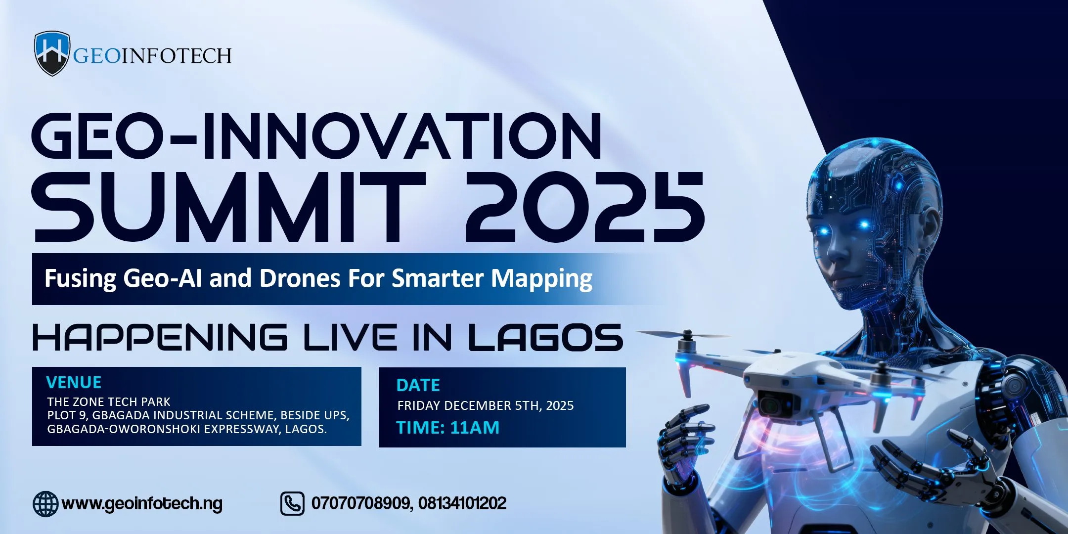
Register Now for the Geo-Innovation Summit 2025
Theme: Fusing Geo-AI and Drones for Smarter Mapping
Date: December 5th, 2025
Time: 11:00 AM
Venue: The Tech Zone Park, Gbagada, Lagos
Registration link: https://geoinfotech.ng/event/geo-innovation-summit-2025/


