Starting a construction project without a comprehensive spatial data checklist is like trying to navigate Lagos traffic without Google Map, you’re bound to hit a “bottleneck” or worse, a buried utility line. Whether you are developing a luxury high-rise or a smart agricultural site, spatial data is the backbone of risk mitigation and cost control.
Here is the ultimate pre-construction spatial data checklist to ensure your project stays on track, on budget, and out of the legal weeds.
1. Topographic Surveys: The Lay of the Land
You cannot design a structure if you don’t understand the ground it sits on. A high-resolution topographic survey provides the 3D coordinates of the earth’s surface.
- What to include: Elevation contours, spot levels and existing physical features (trees, boulders, fences).
- Why it matters: This data dictates your grading, drainage plans and foundation depth. Without it, you risk massive earthwork overruns during the rainy season.
2. Subsurface Utility Engineering (SUE)
What you can’t see can hurt you. Striking a fiber optic cable or a water main can lead to catastrophic delays and safety hazards.
- What to include: Location and depth of water, gas, electricity, telecommunications, and sewage lines.
- Why it matters: Precise utility mapping allows for “clash detection” during the design phase. It is much cheaper to move a pipe on a digital screen than to reroute it with an excavator on site.
3. Geotechnical & Soil Data
While topographic surveys look at the surface, geotechnical data looks beneath it. In regions with varied soil types, this is non-negotiable.
- What to include: Soil boring locations, groundwater levels, and bedrock depth.
- Why it matters: Soil composition determines if you need a simple strip foundation or expensive piling. Identifying high water tables early prevents future basement flooding.
4. Boundary and Right-of-Way (ROW) Surveys
Encroachment is a legal nightmare. You must know exactly where your property ends and the neighbor’s begins.
- What to include: Legal property boundaries, easements, setbacks, and ROW limits.
- Why it matters: This ensures all staging, fencing, and permanent structures are compliant with local zoning and land ownership laws, avoiding “Omonile” disputes or government demolition.
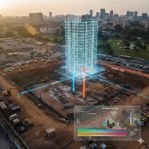
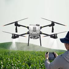
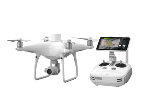
5. Reality Capture: Drone Imagery & LiDAR
Standard maps are good, but Reality Capture is the gold standard for 2026. Drone-based LiDAR (Light Detection and Ranging) can “see” through heavy vegetation to give you an accurate ground model.
- What to include: High-resolution orthomosaic imagery and 3D LiDAR point clouds.
- Why it matters: It provides a “single source of truth” for all stakeholders, allowing for remote site inspections and accurate progress tracking.
The “hidden costs” of construction are almost always linked to missing information. By checking off these spatial data points before the first construction begins, you aren’t just planning, you’re performing proactive risk management.
In an industry where margins are thin, the project manager with the best data wins.