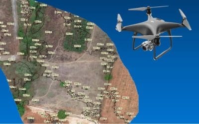
When people hear “GIS” (Geographic Information Systems), they often think it’s only for surveyors or scientists. They often picture complex satellite maps, survey drones, or engineers huddled around computers analyzing terrain data. And while GIS does power those advanced systems, the truth is, GIS is quietly working behind the scenes in ways that affect your daily life whether you’re navigating Lagos traffic, ordering food, or even planning your weekend outing.
The Everyday Technology Behind the Scenes
For example, when you check Google Maps or Waze for the fastest route, what you’re really tapping into is a powerful GIS system processing real-time data These aren’t just maps, they’re living, learning systems that use location intelligence to help you make decisions in real-time.
But how does GIS actually do this?
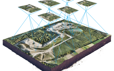
At its core, GIS collects and organizes vast amounts of data tied to specific locations like roads, traffic flow, accidents, and construction work and layers them all onto digital maps. This layering allows the system to “see” the world much like we do, but with the added power of constantly updated information from millions of users and sensors.
When you enter your destination, the GIS doesn’t just draw a line on a map, it analyzes all these layers to find the best route for you. It calculates traffic speeds, predicts delays, and even factors in things like time of day or special events that might affect your trip. If there’s a sudden roadblock, the system quickly recalculates and offers an alternate path.
In essence, GIS turns raw location data into actionable insights, making your navigation smart and responsive.
Powering Smarter Cities and Infrastructure
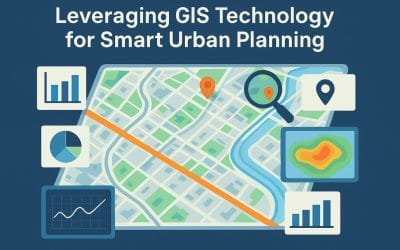
Beyond helping you get from point A to B, GIS plays a critical role in shaping the cities we live in. Urban planners, architects, and government officials use GIS to design smarter infrastructure and make data-driven decisions that improve community life.
Cities face complex challenges such as traffic congestion, rapid population growth, flooding risks, and uneven access to services. GIS helps visualize all these challenges by layering data on population, transportation networks, land use, environmental conditions, and more.
Before a new road is built or a housing development approved, GIS analysis reveals important insights: Is the land suitable? Are there flood risks? How will this impact traffic? Such spatial understanding ensures new developments are sustainable, efficient, and resilient.
Moreover, GIS helps manage essential services like water supply, electricity distribution, and waste collection by mapping demand patterns and infrastructure networks. This means cities can operate more smoothly, saving time and resources while improving residents’ quality of life.
Conclusion
GIS might seem like a complex technology reserved for experts, but as you’ve seen, it quietly powers much of the world around us from guiding your daily commute to shaping the cities we live in. It’s a tool that turns data into insights, helping us solve real problems with location intelligence.
Understanding how GIS works behind the scenes not only reveals the incredible technology that supports our everyday lives but also opens the door to new possibilities. Whether you’re a curious learner, a business owner, or a community leader, embracing GIS can help you make smarter decisions and create better solutions.
So next time you check your phone for directions or notice changes in your neighborhood, remember: there is a powerful system working quietly in the background, connecting data with place to make the world a little bit smarter.


