
Good GIS data is the foundation of any great map. Your work is only as good as the data behind it whether you’re mapping for research, urban planning, or app development. In this post, we have gathered the most trusted, free GIS data sources what they offer, how to use them, and why they are essential for anyone working with geospatial data.
USGS – EARTH EXPLORER
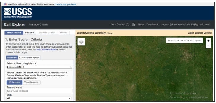
USGS stands for United States Geological Survey. They are a scientific agency of the United States government that conducts research and provides unbiased information about the geology, natural hazards, and resources of the United States. It has a long history of providing unbiased, objective scientific data and analysis. The U.S. Geological Survey’s Earth Explorer lets you search and download satellite images and datasets like Landsat, MODIS, and elevation data. It’s a go-to tool for anyone working on environmental studies or remote sensing.
It offers access to decades of satellite imagery and aerial data, ideal for time-series analysis and environmental monitoring
Type of Data Available: Satellite imagery (Landsat, MODIS), aerial photos, elevation data (DEM), and more
Image Type: GeoTIFF, JPEG2000, and HDF files
Best For: Remote sensing, land use change, forestry, disaster assessment.
COPERNICUS OPEN ACCESS HUB
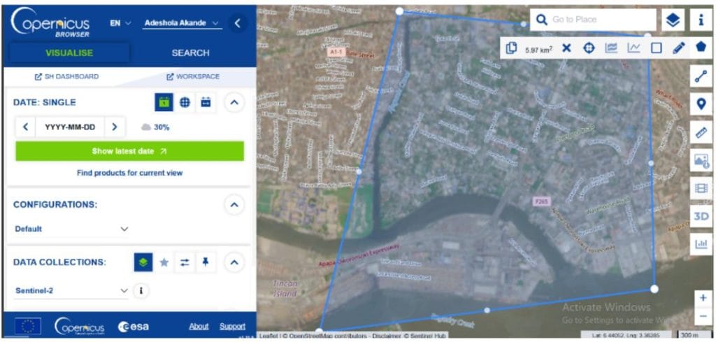
Copernicus is formerly known as Sentinels Scientific Data Hub. Copernicus is an open ecosystem that provides free instant access to a wide range of data and services from the Copernicus Sentinel missions and more on our planet’s land, oceans and atmosphere. It Provides high-resolution satellite data for free, with frequent global coverage, perfect for monitoring natural resources and disasters.
Type of Data Available: Sentinel satellite imagery (Sentinel-1: radar, Sentinel-2: optical, Sentinel-3/5: atmosphere/ocean data).
Image Type: SAFE format (can be converted to GeoTIFF), includes multispectral and SAR (radar) imagery.
Best For: Agriculture, flood detection, urban expansion, vegetation monitoring.
OpenStreetMap (OSM)
OpenStreetMap (OSM) is an open collaborative project to create a free editable map of the world. It’s constantly updated by a global community. Perfect for projects that require up-to-date local detail in both urban and rural areas.
Type of Data Available: Street-level data such as roads, buildings, points of interest, land use, and more.
Image Type: Vector data (OSM XML, SHP), GeoJSON, and raster tiles
Best For: Urban planning, routing, mobile apps, humanitarian mapping.
NATURAL EARTH
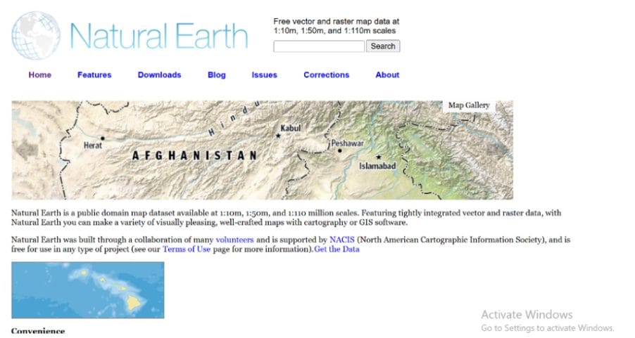
Natural Earth offers free downloads of map data at three scales: 1:10m, 1:50m, and 1:110m. Designed for cartography, it offers clean, generalized data that’s perfect for global-scale or thematic maps. The layers are pre-styled, making it easy to plug into any GIS project.
Type of Data Available: Vector and raster map data, including country boundaries, coastlines, cities, roads, land cover, and elevation.
Image Type: Shapefiles (SHP), GeoTIFFs, and ready-to-use map previews.
Best For: Map-making, educational projects, basic world geography mapping.
NASA EARTHDATA
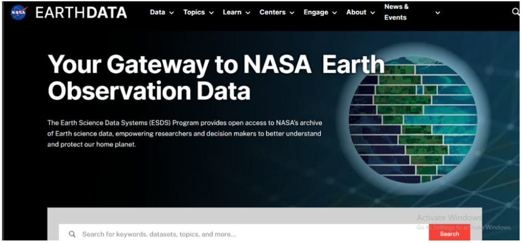
NASA Earthdata is the main portal for accessing satellite data collected by NASA’s Earth-observing missions. It brings together dozens of datasets about the planet’s surface, atmosphere, oceans, and climate into one centralized platform.
Type of Data Available: Satellite data for atmosphere, land, ocean, and climate e.g., MODIS, VIIRS, SMAP, and more.
Image Type: HDF, NetCDF, GeoTIFF
Best For: Climate research, global environmental analysis, drought and vegetation studies.
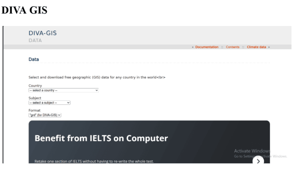
it’s a free, user-friendly GIS software and data hub designed especially for biodiversity and ecological research. It’s widely used by scientists, researchers, and students around the world.
Type of Data Available: Country-level shapefiles of administrative boundaries, roads, rivers, elevation, and climate variables
Image Type: SHP (shapefile) format
Best For: Biodiversity mapping, agriculture, beginner GIS projects.
OPEN TOPOLOGY
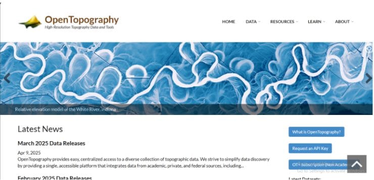
It’s a platform that provides free, high-resolution terrain data including LiDAR, Digital Elevation Models (DEMs), and point clouds, which are often used in geology, engineering, and disaster management.
Type of Data Available: High-resolution topographic data including LiDAR, DEM (Digital Elevation Models), and point clouds.
Image Type: LAS/LAZ (LiDAR), GeoTIFF (DEM), ASCII grid.
Best For: Terrain analysis, geology, infrastructure planning, and civil engineering.


