
Your Guide to Downloading Survey, Drone, and GIS Software in Nigeria
In the ever-evolving fields of surveying, drone technology, and Geographic Information Systems (GIS), having the right software is crucial. Whether you’re a surveyor, a drone enthusiast, or a GIS analyst, there are numerous software options available to meet your needs.
Drone Software
Drones are powerful tools to help in the mapping and surveying industry. They can effectively perform work for 3D mapping, land surveys, photogrammetry, and topographic surveying by flying above the ground. To make the most of your drone, you need the right software for planning, flying, and processing data. Listed are a few softwares used in processing aerial images:
- DroneDeploy: The DroneDeploy app facilitates automated flights from take-off and right through to landing while automatically capturing images that can be uploaded for processing. These stills can be used to create a range of visualized data from 2D maps to 3D models. You can easily download this app on your phone from Google play store or Apple store.
- Pix4D: This offers a suite of software for drone mapping, including Pix4Dmapper, which converts images into precise 2D maps and 3D models. It’s highly regarded for its accuracy and ease of use.
- Agisoft: Agisoft Metashape is a stand-alone software product that performs photogrammetric processing of digital images and generates 3D spatial data to be used in GIS applications.
GIS Software
It is not far from the truth that GIS is an indispensable tool for managing, analyzing, and visualizing spatial data. These tools are used across numerous sectors including urban planning, environmental management, transportation and disaster response. There are various softwares used in visualizing and analyzing spatial data of which are:
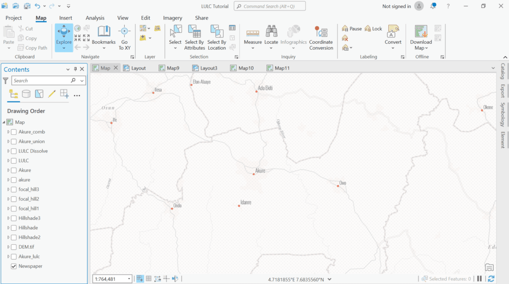
- ARCGIS: ArcGIS by Esri is the industry standard for GIS software. It offers comprehensive tools for mapping, spatial analysis, and data management. Esri provides various products to suit different needs, from ArcGIS Online to ArcGIS Pro.
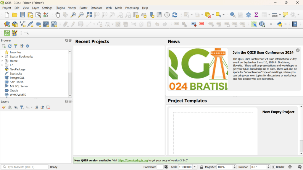
- QGIS: Quantum GIS is a free and open-source GIS software that’s incredibly powerful and versatile. It supports numerous file formats and offers extensive plug-ins to enhance functionality.
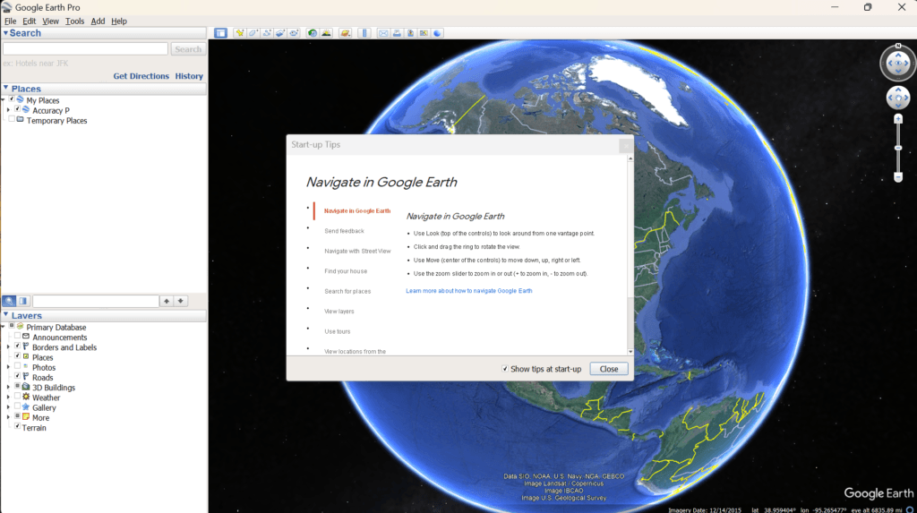
- Google Earth Pro: Google Earth Pro on the desktop is free for users with advanced feature needs. Import and export GIS data, and go back in time with historical imagery. This software can be gotten on the Google Earth website.
- MapInfo Pro: It is a desktop GIS application, with feature-packed software developed with enhancements and ideas from the ArcGIS Pro user community. It allows you to store multiple items, such as maps, layouts, tables, and charts, in a single project and work with them.
Conclusion
Choosing the right software for your surveying, drone, and GIS needs can significantly enhance your efficiency and accuracy. The software options listed above are among the best in their respective fields, offering robust features and user support.
Now you are aware of these software, the next question on your mind could be “where can i easily download or get incense for these software?
Well, you don’t have to look further. These software and licenses are readily available on our website https://geoinfotechstore.com/ . Whether you’re mapping a construction site, conducting environmental surveys, or creating detailed geographic analyses, the right software is just a download away.


