What is Aerial Mapping?
Aerial mapping is the process of capturing images and data from above using aircraft, drones, or other flying objects. This data can then be used to create maps, 3D models, and other geospatial products. Aerial mapping has a wide range of applications in a variety of industries, including:
Agriculture: Farmers can use aerial mapping to monitor crop health, assess irrigation needs, and track yields.
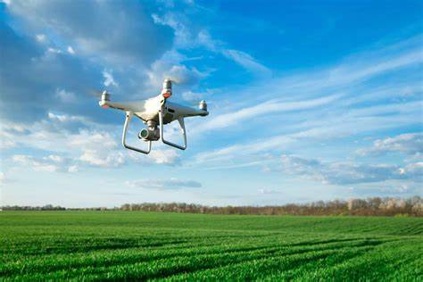
Figure 1: Drone flying over a farm
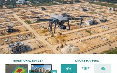
Construction: Construction companies can use aerial mapping to track the progress of construction projects, measure volumes of materials, and identify potential safety hazards.

Figure2: Drone flying over a construction site
Forestry: Foresters can use aerial mapping to assess forest health, track deforestation, and manage fire risk.

Figure 3: Drone flying over a forest
Mining: Mining companies can use aerial mapping to measure stockpiles, monitor mine operations, and identify potential environmental hazards.

Figure 4: Drone flying over a mine
Real estate: Real estate agents can use aerial mapping to create virtual tours of properties, measure land areas, and identify potential development opportunities.
Urban planning: City planners can use aerial mapping to create 3D models of cities, track urban development, and plan for future infrastructure needs.
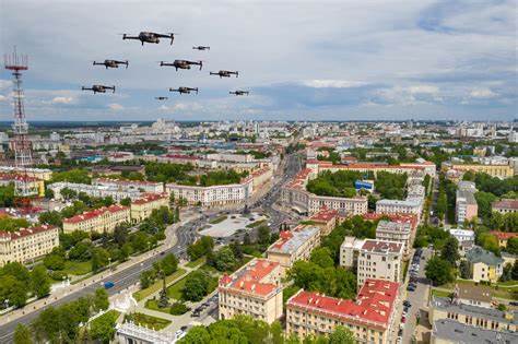
Figure 5: Urban Planning
Benefits of aerial mapping
There are many benefits to using aerial mapping, including:
- Increased accuracy and efficiency: Aerial mapping can provide more accurate and up-to-date data than traditional ground-based methods.
- Improved safety: Aerial mapping can be used to collect data from dangerous or inaccessible areas.
- Reduced costs: Aerial mapping can be more cost-effective than traditional methods, especially for large or complex projects.
- Better decision-making: Aerial mapping can provide valuable insights that can help businesses and organizations make better decisions.
What is the Purpose of an Aerial Map?
An aerial map is a map created from images taken from above the ground, typically by aircraft, drones, or satellites. These images can be used to create a variety of map products, including:
Topographic maps: These maps show the physical features of an area, such as mountains, rivers, and valleys.
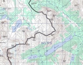
Figure 6: Topographic Map
Orthophotos: These are high-resolution images that have been corrected for geometric distortions, making them accurate representations of the ground below.
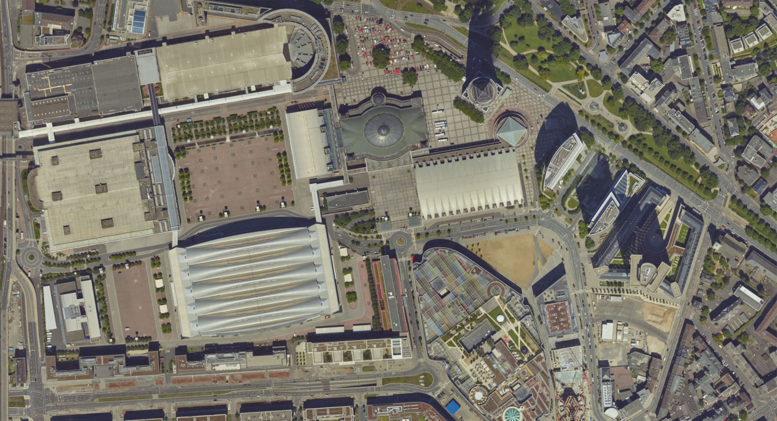
Figure 7: Orthophoto
3D models: These models can be used to visualize an area in three dimensions, which can be helpful for planning and design purposes.

Figure 8: 3D Map
The Meaning of an Aerial View Map
The meaning of an aerial view map can vary depending on the purpose of the map. For example, a topographic map may be used to show the elevation of different features, while an orthophoto may be used to identify specific objects on the ground. However, there are some general things that all aerial view maps can tell us:
- The layout of an area: Aerial view maps can show us the relative positions of different features, such as buildings, roads, and bodies of water.
- The size and shape of features: Aerial view maps can help us to measure the size and shape of features, such as buildings, fields, and forests.
- The relationships between features: Aerial view maps can help us to see how different features are related to each other, such as how roads connect buildings or how rivers flow through valleys.
Applications of Aerial View Maps
Aerial view maps have a wide range of applications, including:
- Urban planning: Aerial view maps can be used to plan the development of cities, towns, and other communities.
- Infrastructure management: Aerial view maps can be used to manage infrastructure, such as roads, bridges, and pipelines.
- Environmental monitoring: Aerial view maps can be used to monitor environmental changes, such as deforestation and pollution.
- Disaster relief: Aerial view maps can be used to assess damage after natural disasters and to coordinate relief efforts.
- Military operations: Aerial view maps are used extensively in military operations for planning, reconnaissance, and targeting.
The future of aerial mapping
Aerial mapping is a rapidly growing industry, and new technologies are emerging all the time. In the future, we can expect to see even more applications for aerial mapping, as well as more accurate, efficient, and affordable solutions.
Conclusion
Aerial view maps are a valuable tool that can be used for a variety of purposes. They provide a unique perspective on the world that can be used to make better decisions about how we plan, manage, and protect our environment.


