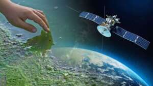
Gis Mapping Remote Sensing and Satellites Services Near Me
Gis Mapping Remote Sensing and Satellites Services Near Me
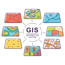
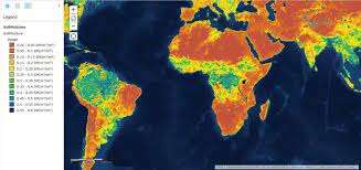
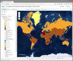
GIS: A geographic information system is a system that creates, manages, analyzes, and maps all types of data. It connects data to a map, integrating location data (where things are) with all types of descriptive information (what things are like there).
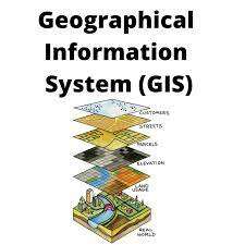
Mapping: This is the process of inputting data layers into GIS software to produce a map.
Types of Maps
- General Reference Maps
- Topographical Maps
- Thematic Maps
- Navigation Charts
- Cadastral Maps
- Plans
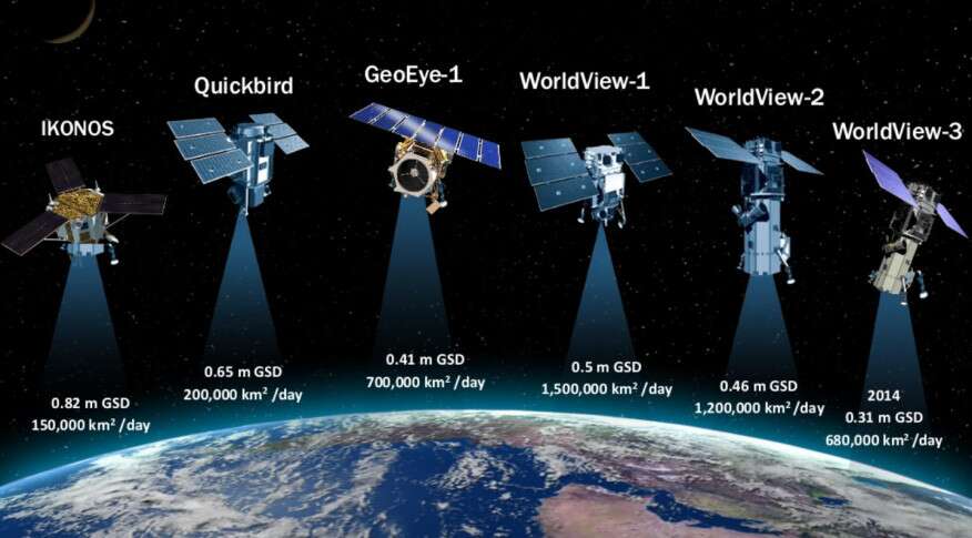
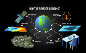
Remote Sensing: This is one of the methods commonly used for collecting physical data to be integrated into a GIS. Remote sensors collect data from objects on the earth without any direct contact. They do this by detecting energy reflected from the earth and are typically mounted on satellites or aircraft.
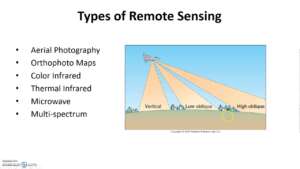
Types of Remote Sensing
- Active Remote Sensing
- Passive Remote Sensing
- Microwave Remote Sensing
Applications of Remote Sensing
- Analyzing the condition of rural roads
- Creating a base map for visual reference
- Controlling forest fires
- Collecting earth’s picture from space
- Detecting land use and land cover
Satellites: Communications capabilities that utilize an on-orbit satellite for transmitting the signal from one location to another.
Types of Satellite
- GEO (Geostationary Earth Orbit)
- LEO (Low Earth Orbit)
- MEO (Medium Earth Orbit) or ICO (Intermediate Circular Orbit)