If you’ve ever used GPS on your phone and ended up a few meters off from your destination, you know how small errors can throw things off. Now imagine that same inaccuracy happening on a construction site or in a large farm field where every centimeter counts. That’s why professionals today rely on GNSS RTK (Real-Time Kinematic) technology.
RTK takes regular GPS to a whole new level, delivering centimeter-level accuracy instead of meter-level guesses. Let’s look at five ways this technology is changing the game in construction and agriculture.
- Pinpoint Accuracy — Down to the Centimeter
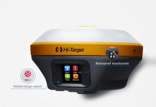
Normal GPS can be off by a few meters, but GNSS RTK corrects those errors in real time using a base station and a rover receiver. The result? Positions accurate to within a couple of centimeters. For construction teams, that means precise control points and perfect alignments. For farmers, it means machinery that moves with incredible precision, planting seeds and applying fertilizer exactly where needed.
- Smarter, More Efficient Farming
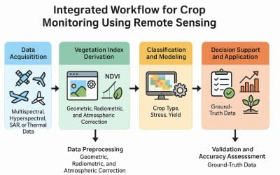
Farmers aren’t just guessing anymore—they’re using RTK-guided tractors, drones, and sensors to make every pass count. With RTK, you can plant, spray, and harvest with near-perfect precision, avoiding overlaps and missed spots.
That means less wasted fertilizer, lower fuel costs, and better yields. In other words, RTK helps farmers do more with less, while keeping their operations sustainable and data-driven.
- Perfect Layouts for Construction Sites
Engineers or surveyors understand that small layout errors can become big (and expensive) problems later. RTK systems help crews mark out roads, buildings, and pipelines with pinpoint accuracy, ensuring that designs on paper line up perfectly with the real world.
From grading and paving to foundation work, RTK gives construction teams confidence that every measurement is right the first time.
- Real-Time Mapping and Monitoring
One of the coolest things about GNSS RTK is how fast it works. Data comes in live—so engineers and supervisors can see progress as it happens.
Imagine being able to monitor machinery movement, earthworks, or crop planting in real time, right from the field. That kind of immediate feedback helps teams make quick decisions, catch mistakes early, and save time on rework.
- A Perfect Partner for Modern Geospatial Tech
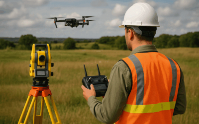
GNSS RTK doesn’t work in isolation. It connects beautifully with other geospatial technologies—like drones, total stations, and GIS software. Together, they create accurate 3D maps and models that planners, surveyors, and farmers can rely on.
Whether you’re designing a new road network or managing a precision farming project, this combo of tools keeps every measurement grounded in reality.
In a Nutshell
GNSS RTK isn’t just about accuracy—it’s about working smarter. From construction mapping to precision agriculture, it’s helping professionals around the world make better decisions, save resources, and deliver results that truly measure up.
As geospatial technology keeps evolving, one thing’s clear: RTK is here to stay—and it’s raising the standard for accuracy everywhere.


