Nigeria is urbanizing at an unprecedented rate. With millions migrating to cities every year, the pressure on infrastructure, housing, transportation, and environmental resources is mounting. To manage this rapid growth effectively, planners and policymakers are turning to Geographic Information Systems (GIS) and drone technology—and GeoInfotech is at the forefront of this transformation.
Understanding the Urban Landscape with GIS
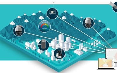
Urban planning without accurate data is like navigating without a map. GIS provides a powerful platform for collecting, visualizing, and analyzing spatial data to understand patterns of development, population distribution, traffic flow, and land use.
At GeoInfotech, we develop customized GIS solutions that help city authorities and private developers make informed decisions. From mapping informal settlements to identifying optimal locations for new infrastructure, GIS makes the invisible—visible.
Drone Technology: A New Perspective on City Growth
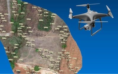
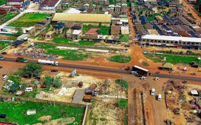
Drones are revolutionizing how we view and plan our urban environments. Equipped with high-resolution cameras and LiDAR sensors, drones provide real-time aerial imagery and 3D models of urban areas, capturing details that traditional surveys can miss.
Our team at GeoInfotech uses drone mapping to:
- Monitor urban expansion
- Assess flood-prone areas
- Conduct site inspections
- Generate detailed topographic maps for road and housing development
With drones, we reduce data collection time while increasing accuracy and efficiency, saving both time and money.
Applications in Nigerian Cities
From Lagos to Abuja and Port Harcourt, cities are beginning to embrace geospatial intelligence. GeoInfotech has supported projects such as:
- Land use mapping for master plan reviews
- Smart transportation network planning
- Environmental impact assessments
- Slum upgrading and redevelopment initiatives
These projects show how GIS and drones can turn data into practical, life-improving solutions.
Capacity Building for Sustainable Urban Growth
We also recognize that technology alone isn’t enough—people must know how to use it. GeoInfotech runs urban planning-focused GIS and drone training, equipping local authorities, students, and professionals with the skills to drive sustainable urban development.
Conclusion
As Nigeria’s cities continue to grow, smart planning is no longer optional—it’s essential. At GeoInfotech, we combine technology, expertise, and training to support urban planners in building cities that are sustainable, inclusive, and resilient. Whether you’re designing a new layout for a town or managing urban sprawl, we’re here to power your vision with geospatial intelligence.
Learn More: Discover how GIS and drone technology can transform your urban planning projects. Visit www.geoinfotech.ng or contact us today.


