Buying land in Nigeria is one of the most important financial decisions you’ll ever make. But it’s also one of the riskiest if you don’t do things the right way. Every year, thousands of Nigerians lose money to land scams, double sales, or government acquisition because they skipped one vital step: land survey.
A land survey in Nigeria is not just about measuring land; it is about protecting your future. Without it, you cannot truly say you “own” land.
In this guide, we’ll walk you through everything you need to know about land survey in Nigeria, from what it means, why it’s important, how much it costs, the types, the registration process, common mistakes, and how to choose the right surveyor.
By the end, you’ll understand why a land survey is the foundation of secure land ownership in Nigeria.
What is a land survey in Nigeria?
In simple terms, a land survey is the process of measuring, mapping, and defining the exact boundaries of a piece of land.
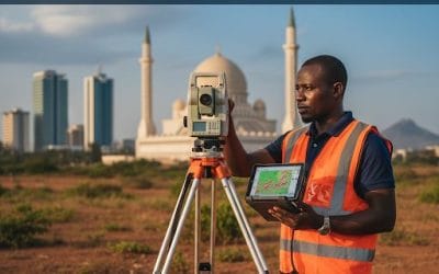
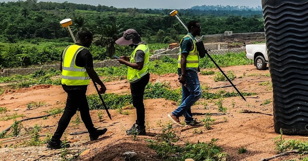
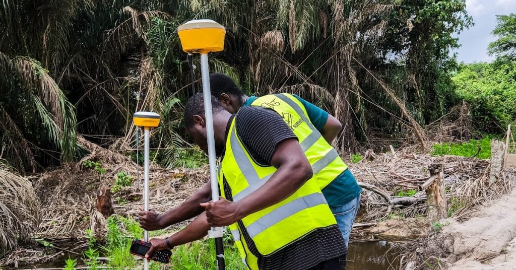
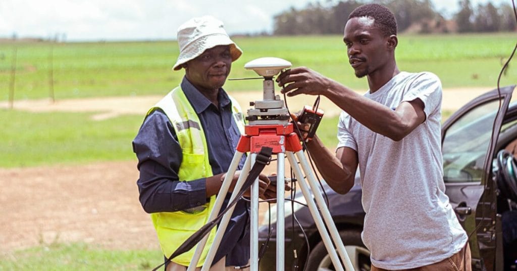
A licensed surveyor visits the land, uses professional equipment (like GPS, drones, and total stations), collects data, and produces a survey plan.
A survey plan is an official document that shows:
- The exact location of the land (using coordinates)
- The size of the land in square meters or hectares
- The boundaries (with bearings and distances)
- The name of the landowner
- The surveyor’s details and stamp
Once this plan is registered with the government, it becomes a legal document that protects your land.
Why is land survey important in Nigeria
If you ask 10 people who lost their land, at least 6 of them will tell you it happened because they didn’t have a registered survey plan.
Here’s why it’s so important:
- Legal protection: Without a registered survey, your land has no official recognition.
- Government approval: You cannot get a Certificate of Occupancy (C of O) or Governor’s Consent without a survey.
- Prevents encroachment: Your neighbors won’t be able to shift your boundary or claim your land.
- Saves money long-term: Paying for a survey might feel expensive now, but losing millions later is worse.
- Essential for property development: No bank, investor, or government agency will accept land documents without a registered survey plan.
In short: No survey, no security.
Case Study: How a man lost ₦10 million due to no survey
Mr. Chukwu bought 2 plots of land in Lagos in 2018. He trusted the seller and didn’t bother doing a proper survey. A year later, when he wanted to build, he discovered that part of his land fell under government acquisition for a road expansion project.
Because he had no registered survey plan to show when he bought the land, he couldn’t claim compensation. He lost almost ₦10 million.
If he had done a survey before purchase, the survey would have shown that the land was under government acquisition, and he could have avoided the loss.
Types of land surveys in Nigeria
Different surveys serve different purposes. Here are the most common:
- Cadastral or Boundary Survey
- Defines exact land boundaries.
- Used for buying, selling, or registering land.
- Topographic Survey
- Shows the physical features, slopes, and elevations of the land.
- Useful for construction projects, estates, or road works.
- Subdivision Survey
- Splits a large piece of land into smaller plots for resale or estate development.
- Construction/Engineering Survey
- Used to “set out” buildings, roads, or other structures in their correct positions.
- Drone and Aerial Survey
- Modern methods using drones to map large areas quickly.
- Common for agriculture, estates, and big infrastructure projects.
Step-by-step process of getting a registered survey plan in Nigeria
Here’s how it usually works:
- Hire a licensed surveyor – confirm they are registered with SURCON.
- Reconnaissance survey – the surveyor checks the land and confirms ownership details.
- Fieldwork – using GPS and measuring tools, the surveyor collects coordinates of your land.
- Preparation of survey plan – a draft survey plan is created.
- Submission for registration – the survey plan is submitted to the State Ministry of Lands.
- Verification – government checks for overlaps or acquisitions.
- Payment of fees – you pay official fees to the state government.
- Registered survey plan issued – you receive a red copy (the official registered survey).
land-survey-nigeria-2025.jpg
How much does a land survey cost in Nigeria?
The cost of land survey varies depending on the:
- Location: Lagos, Abuja, and other major cities are more expensive than rural areas.
- Size of the land: Bigger land = higher cost.
- Purpose: A simple boundary survey costs less than a topographic or drone survey.
- Government fees: Each state has its own fee schedule.
Cost breakdown by example:
- Lagos State: ₦350,000 – ₦2 million (depending on zone & plot size)
- Abuja (FCT): ₦500,000 – ₦3 million
- Ogun State: ₦250,000 – ₦800,000
- Rural areas: ₦150,000 – ₦400,000
Always ask for an official receipt and insist on government registration.
Common problems avoided by land survey
- Buying land under government acquisition → survey reveals it early.
- Boundary disputes with neighbors → survey fixes your exact limits.
- Fraudulent land sellers → A survey can expose double allocation.
- Building in the wrong place → A survey helps set out structures correctly.
- Land size cheating → sometimes sellers exaggerate size; survey confirms real measurement.
How to choose the right surveyor in Nigeria
Here’s a checklist before hiring a surveyor:
- Verify their SURCON registration.
- Ask to see past survey plans they’ve produced.
- Confirm they know the local area.
- Make sure their plan will be registered, not just drawn.
- Get a written contract.
- Insist on clear fees (fieldwork, government fees, professional charges).
- Ask if they use modern tools like GPS, drones, and GIS.
Modern tools used in Nigerian land survey
Today’s surveyors no longer rely on manual compasses alone. They use:
- GPS/GNSS receivers – for precise coordinates.
- Drones/UAVs – for aerial mapping and estate layouts.
- Total Stations – for accurate angles and distances.
- GIS & CAD software – for preparing legal survey plans.
- LiDAR scanning – for 3D elevation mapping.
Documents needed for land registration
When registering land or applying for a C of O, you’ll need:
- Registered survey plan
- Application form (from the State Ministry of Lands)
- Proof of identity (passport, National ID, etc.)
- Purchase agreement or deed of assignment
- Passport photographs
- Payment receipts
Extra FAQs
Q: How long does it take to get a registered survey plan?
Usually 2–6 weeks, depending on the state and how fast the Ministry processes it.
Q: Can I use the seller’s old survey plan?
Only if it’s registered. Otherwise, do your own survey plan, to be safe.
Q: Is a drone survey accepted for registration?
Yes, as long as a licensed surveyor signs off and submits it officially.
Q: Can I register my land survey myself?
No. Only a licensed surveyor can prepare and submit the plan for registration.
Q: What happens if my land falls under government acquisition?
You may not be able to get a C of O. Sometimes compensation is paid, but only if you can prove ownership with documents.
Notes
A land survey in Nigeria is more than just a drawing; it is your legal proof of land ownership. Whether you are buying, selling, or developing, you cannot afford to skip it.
At Geoinfotech, we help individuals, families, and businesses secure their land with accurate, government-recognised survey plans. Using modern technology like GPS, drones, and GIS, our licensed surveyors deliver results you can trust.
Call us today: +234 816 322 2177
Lagos Office: Oluwalogbon House, Obafemi Awolowo Way, Alausa Ikeja, Lagos
Abuja Office: 6th Floor, Nigeria Reinsurance Corporation Building, Plot 784A Herbert Macaulay Way, North, Abuja


