
Addressing Pest Proliferation Through Geospatial Technology
Addressing Pest Proliferation Through Geospatial Technology
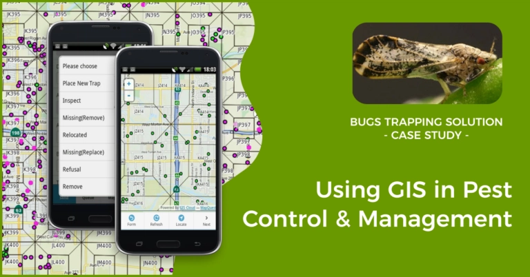
Addressing pest proliferation through Geospatial Technology: Identifying key intervention zones and effectively targeting control measures. expansion of agricultural operations has exacerbated pest-related problems, resulting in considerable crop losses and jeopardizing global food security.
Population growth and the expansion of agricultural operations have exacerbated pest-related problems, resulting in considerable crop losses and jeopardizing global food security. Pesticides are applied in large quantities as part of traditional pest management techniques, which can be pricy, ineffective, and environmentally hazardous. However, with the development of geospatial technology, we now have the means to do more precisely and successfully control pest growth. Utilizing geospatial data analysis, we are able to pinpoint precisely where to apply control measures in order to mitigate insect damage while having the least possible negative effects on the ecosystem. This blog article will examine the ways that geospatial technology is transforming pest management and go through some of its possible advantages.
Getting to Know Geospatial Technology
Geospatial technology describes the methods used to collect, store, alter, analyze, and present spatial data, including geographic information systems (GIS), remote sensing, and spatial analysis. It combines information from multiple sources, including satellite imaging, weather information, and on-the-ground observations, to produce thorough geographical insights. Geospatial technology helps us visualize patterns, trends, and relationships that might not be immediately obvious, giving us important insights for decision-making. This is done by superimposing several layers of data onto a map.
Identifying Key Intervention Zones
One of the primary advantages of geospatial technology in pest management is its ability to identify key intervention zones accurately. By integrating data on crop types, weather patterns, historical pest outbreaks, and landscape characteristics, geospatial analysis can identify areas that are more prone to pest infestations. This information allows agricultural practitioners to prioritize resources and interventions where they are most needed, optimizing efficiency and minimizing unnecessary pesticide use.
Geospatial technology, for instance, can pinpoint areas with a greater prevalence of pest outbreaks or where particular pest species are common by examining historical data and satellite imagery. With this information, farmers can take proactive preventive action, such as modifying planting schedules, choosing pest-resistant crop types, or implementing focused biological control techniques.
Targeting Control Measures
Precision targeting of control measures is made possible thanks in large part to geospatial technology. The geospatial analysis enables farmers to pinpoint insect hotspots or specific locations within a crop that need intervention rather than spraying pesticides throughout the entire field. Farmers can precisely identify areas under pest pressure by employing geospatial technologies to overlay pest occurrence data with crop health indicators, such as vegetation indices derived from satellite imagery.

With this knowledge, farmers can implement more specialized pest control methods like spot spraying, placement of regional pest traps, or dispersal of beneficial insects. The number of pesticides used overall can be greatly decreased by using control measures only where essential, saving money and lowering any potential environmental problems brought on by chemical runoff.
Integration of Real-Time Data
Geospatial technology can also integrate real-time data streams, providing up-to-date information on pest dynamics. By incorporating weather data, insect trapping data, and satellite imagery, farmers can monitor the spread and intensity of pests in real time. This enables them to respond quickly and deploy control measures promptly when pest populations reach critical thresholds.
Furthermore, the integration of real-time data with geospatial technology allows for dynamic modeling and predictive analytics. By combining historical pest data with current environmental conditions, predictive models can forecast potential pest outbreaks, empowering farmers to take proactive measures to prevent or mitigate damage.
Conclusion
Through the provision of precise spatial insights and the facilitation of focused intervention measures, geospatial technology offers a disruptive approach to pest management. Farmers may maximize resource allocation, lower pesticide use, and lessen environmental effects by identifying essential intervention zones and accurately directing control measures.


