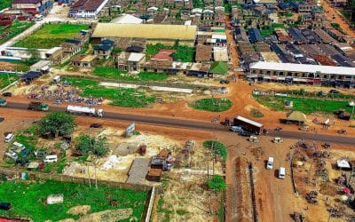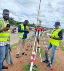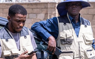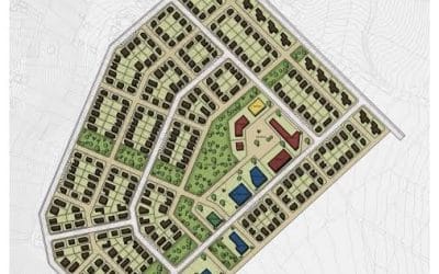

The application of GIS and Remote Sensing in Land use effect on vegetation was well documented. The ability to show the goals and factors of vegetation planning for the community. Furthermore, the database created can be reviewed and updated periodically to meet the urban agricultural growth needs of the region.


