
DCIM100MEDIADJI_0068.JPG


DCIM100MEDIADJI_0068.JPG
Geoinfotech has also been at the frontier of several GIS, Drone and Remote sensing based projects
YOU MAY ALSO LIKE...

In today’s data-driven world, organisations and governments are increasingly turning to geospatial...

Drone services in Lagos have evolved significantly, moving far beyond aerial photography; they now...
What is GIS? Geographic Information Systems (GIS) have become one of the most powerful tools of...
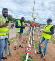
CADASTRAL SURVEYS A cadastral survey is the foundation of all property rights and land...

Buying land in Nigeria is a big investment. Whether you’re planning to build a home, start a...
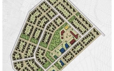
Building Lagos with Confidence A successful land development project starts with a flawless plan....


