Make better decisions with accurate 3D maps and models
SURVEYING
SURVEYING
CONSTRUCTION
CONSTRUCTION
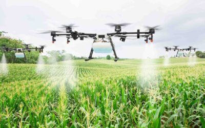
AGRICULTURE
AGRICULTURE
TELECOM
TELECOM
PUBLIC SAFETY
PUBLIC SAFETY
MINING
MINING
INSPECTION
INSPECTION

GEOGRAPHIC INFORMATION SYSTEM
We Create interactive maps to visualize and explore your data using various dynamic mapping software.
GEOGRAPHIC INFORMATION SYSTEM
- Geo-Spatial Analysis
- Web Mapping and Application
- Cartographic Mapping
- Data Sales
- Training
- More…
REMOTE SENSING
- Satellite Image Processing
- High Resolution Satellite Image Sales/Download
- Image Analysis of Digital Surface and Terrain Models (DSM, DTM) with precisions far higher than any other product.
- Training
- More…
GEO STORE
Download free and paid datasets, software, and maps. Get the best quality UAV (Drone) Products, GPS, Manuals, and other GeoTech Equipment.
Mission Planning
Data Acquisition
Area Mapping and Inspection
Data Analysis
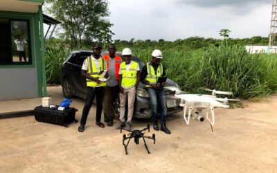
Our Portfolio
Explore Recent Drone Projects


Our Blog
Read the latest from Geoinfotech
Precision Agriculture
The science of enhancing agricultural yields and supporting management choices with advanced sensor and analysis technologies is known as precision agriculture, or PA. The world has embraced PA, a novel idea that promises to boost output, cut down on labor costs, and...

Aerial Mapping Applications
What is Aerial Mapping? Aerial mapping is the process of capturing images and data from above using aircraft, drones, or other flying objects. This data can then be used to create maps, 3D models, and other geospatial products. Aerial mapping has a wide range of...

AERIAL SURVEYING AND MAPPING
Aerial surveying and mapping involve capturing images or data from elevated platforms, such as airplanes or drones, to create detailed and accurate maps of landscapes, infrastructure, or natural resources. This technology is crucial for various industries, including...
COMPANIES THAT REPAIR IN DRONES IN NIGERIA
Assessing companies specializing in drone repair can present unique challenges due to the evolving technology and the expertise required. Understanding drone models, technicians' qualifications, and repair parts' quality are crucial in evaluating these service...
For any inquires call now
Contact us
Do you have any query?