Make better decisions with accurate 3D maps and models
SURVEYING
SURVEYING
CONSTRUCTION
CONSTRUCTION
AGRICULTURE
AGRICULTURE
TELECOM
TELECOM
PUBLIC SAFETY
PUBLIC SAFETY
MINING
MINING
INSPECTION
INSPECTION

GEOGRAPHIC INFORMATION SYSTEM
We Create interactive maps to visualize and explore your data using various dynamic mapping software.
GEOGRAPHIC INFORMATION SYSTEM
- Geo-Spatial Analysis
- Web Mapping and Application
- Cartographic Mapping
- Data Sales
- Training
- More…
REMOTE SENSING
- Satellite Image Processing
- High Resolution Satellite Image Sales/Download
- Image Analysis of Digital Surface and Terrain Models (DSM, DTM) with precisions far higher than any other product.
- Training
- More…
GEO STORE
Download free and paid datasets, software, and maps. Get the best quality UAV (Drone) Products, GPS, Manuals, and other GeoTech Equipment.
Mission Planning
Data Acquisition
Area Mapping and Inspection
Data Analysis
Our Portfolio
Explore Recent Drone Projects


Our Blog
Read the latest from Geoinfotech
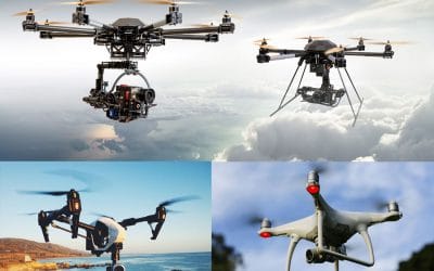
Top 7 Drone Manufacturing Companies
There are some fantastic drone producers, companies from across the globe, those drone agencies produce quadcopters, hexacopters and extra out of the whole lot from foam to high-grade substances like carbon fibre in expert gear. There are many drones to pick out...

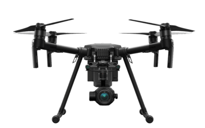
Geoinfotech Drone Surveying
Drone surveying is a new technology used for surveying. At Geoinfotech, we use Leading Drone to quickly and economically collect, analyze and map Nigeria’s aviation data, alongside other countries and strive to meet customer needs by changing the real world....
Drone Business in Lagos Abuja Nigeria
Geoinfotech Drone Surveying, Mapping, Inspection, or Surveillance company business in Lagos Abuja Nigeria is an innovative and cost-efficient way to collect aerial data on projects in surveying, construction, agriculture, energy, and more. Contact us for costing With...
HOW WILL DRONE AFFECT THE FUTURE?
Introduction. Drone was first used by Militaries as a weapon of warfare, initial use of the technology in reconnaissance and ground attack roles. But over time, drones or UAV’s has been and is currently in use in various sectors of the economy, the most apparent...
For any inquires call now
Contact us
Do you have any query?