Make better decisions with accurate 3D maps and models
SURVEYING
SURVEYING
CONSTRUCTION
CONSTRUCTION
AGRICULTURE
AGRICULTURE
TELECOM
TELECOM
PUBLIC SAFETY
PUBLIC SAFETY
MINING
MINING
INSPECTION
INSPECTION

GEOGRAPHIC INFORMATION SYSTEM
We Create interactive maps to visualize and explore your data using various dynamic mapping software.
GEOGRAPHIC INFORMATION SYSTEM
- Geo-Spatial Analysis
- Web Mapping and Application
- Cartographic Mapping
- Data Sales
- Training
- More…
REMOTE SENSING
- Satellite Image Processing
- High Resolution Satellite Image Sales/Download
- Image Analysis of Digital Surface and Terrain Models (DSM, DTM) with precisions far higher than any other product.
- Training
- More…
GEO STORE
Download free and paid datasets, software, and maps. Get the best quality UAV (Drone) Products, GPS, Manuals, and other GeoTech Equipment.
Mission Planning
Data Acquisition
Area Mapping and Inspection
Data Analysis
Our Portfolio
Explore Recent Drone Projects


Our Blog
Read the latest from Geoinfotech

Geoinfotech Drone Mapping, Surveying and Inspection Services
Geoinfotech Drone Mapping, Surveying and Inspection Services Geoinfotech Resource Limited offers a fully accredited drone mapping, surveying, and inspection services-based system for the safe inspection of industrial confined spaces. Our technology allows you to...
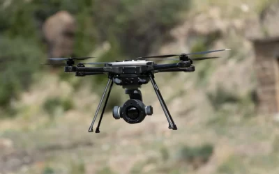
FLIR SYSTEMS DRONE
FLIR SYSTEMS DRONE FLIR Systems: Since 1978, when it was founded, it has announced its presence as the world-leading maker of equipped drone sensors. The unique capabilities of its sensors have a high perception, heighten awareness, help to save lives, improve...
Customs will deploy drones at Seme border due to smuggling
Customs will deploy drones at Seme border due to smuggling The Nigeria Customs will deploy drones at Seme due to smuggling. The willingness to embark on this mission was to ease and improve patrol at the border. The command coordinator for NCS Zone A, Modupe Aremu,...

Zamfara State plans to combat terrorism with fighter drones
Zamfara State plans to combat terrorism with fighter drone Matawalle Bello, the governor of Zamfara State plans to combat terrorism with fighter drones from Turkey to curb the activities of criminals He said plans have been concluded to acquire armed drones with high...
For any inquires call now
Contact us
Do you have any query?