Make better decisions with accurate 3D maps and models
SURVEYING
SURVEYING
CONSTRUCTION
CONSTRUCTION
AGRICULTURE
AGRICULTURE
TELECOM
TELECOM
PUBLIC SAFETY
PUBLIC SAFETY
MINING
MINING
INSPECTION
INSPECTION

GEOGRAPHIC INFORMATION SYSTEM
We Create interactive maps to visualize and explore your data using various dynamic mapping software.
GEOGRAPHIC INFORMATION SYSTEM
- Geo-Spatial Analysis
- Web Mapping and Application
- Cartographic Mapping
- Data Sales
- Training
- More…
REMOTE SENSING
- Satellite Image Processing
- High Resolution Satellite Image Sales/Download
- Image Analysis of Digital Surface and Terrain Models (DSM, DTM) with precisions far higher than any other product.
- Training
- More…
GEO STORE
Download free and paid datasets, software, and maps. Get the best quality UAV (Drone) Products, GPS, Manuals, and other GeoTech Equipment.
Mission Planning
Data Acquisition
Area Mapping and Inspection
Data Analysis
Our Portfolio
Explore Recent Drone Projects


Our Blog
Read the latest from Geoinfotech

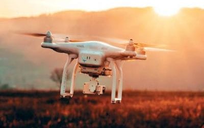
Plane narrowly misses colliding with drones at Heathrow airport.
Plane misses colliding with drones The latest news surfaced aimed concern that drone near-misses are on the rise, significantly posing a threat to recreational and commercial planes. An Airbus A320 plane pilot on the approach to Heathrow in October last year narrowly...
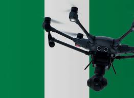
Drone Permits and License in Nigeria.
Introduction Drones are widely known as gadgets of leisure that are sent to the sky to capture impressive aerial photographs and high-definition video. Drones are also regarded as remote-controlled aircraft with no human pilot on-board. These have a huge potential in...
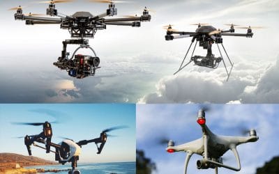
WHAT TO KNOW ABOUT DRONE BUSINESS IN NIGERIA
Introduction Drone use has become versatile and hence its growing use for many activities such as to cover inspection, thermal and multispectral applications. Drones for business saves time decreases danger, permits data collection without disrupting regular work....
DRONE IN NIGERIA CONSTRUCTION.
INTRODUCTION Construction and Infrastructure industries make use of the drone for numerous reasons but specifically used to capture real-time images from the field. The introduction of drone technology in construction and infrastructure industries has helped eliminate...
For any inquires call now
Contact us
Do you have any query?