Make better decisions with accurate 3D maps and models
SURVEYING
SURVEYING
CONSTRUCTION
CONSTRUCTION
AGRICULTURE
AGRICULTURE
TELECOM
TELECOM
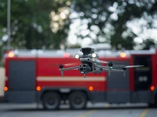
PUBLIC SAFETY
PUBLIC SAFETY
MINING
MINING
INSPECTION
INSPECTION

GEOGRAPHIC INFORMATION SYSTEM
We Create interactive maps to visualize and explore your data using various dynamic mapping software.
GEOGRAPHIC INFORMATION SYSTEM
- Geo-Spatial Analysis
- Web Mapping and Application
- Cartographic Mapping
- Data Sales
- Training
- More…
REMOTE SENSING
- Satellite Image Processing
- High Resolution Satellite Image Sales/Download
- Image Analysis of Digital Surface and Terrain Models (DSM, DTM) with precisions far higher than any other product.
- Training
- More…
GEO STORE
Download free and paid datasets, software, and maps. Get the best quality UAV (Drone) Products, GPS, Manuals, and other GeoTech Equipment.
Mission Planning
Data Acquisition
Area Mapping and Inspection
Data Analysis
Our Portfolio
Explore Recent Drone Projects


Our Blog
Read the latest from Geoinfotech
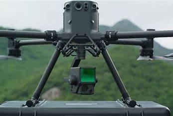
DJI Matrice 350 RTK with Batteries and Charging Station Price in Nigeria
DJI Matrice 350 RTK + 2 Batteries + Charging Station Price in Nigeria (2025) Looking for a reliable and professional-grade enterprise drone for advanced aerial missions? The DJI Matrice 350 RTK with 2 batteries and a charging station is now available at GeoInfoStore...

DJI DRTK-3 GNSS Mobile Station and Tripod Price in Nigeria
DJI DRTK-3 GNSS Mobile Station and Tripod Price in Nigeria (2025) Looking for the most precise mobile GNSS station for your drone operations in Nigeria? The DJI DRTK-3 GNSS Mobile Station and Tripod is a professional-grade solution designed to provide centimeter-level...
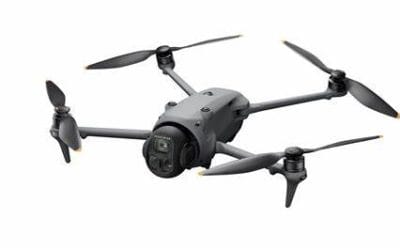
DJI Matrice 4E Enterprise Price in Nigeria
DJI Matrice 4E Enterprise Price in Nigeria (2025) Looking to upgrade your enterprise drone operations? The DJI Matrice 4E Enterprise is now available in Nigeria exclusively at GeoInfoStore.com for ₦7,500,000. Why Choose the DJI Matrice 4E Enterprise? The DJI Matrice...
Mavic 4 Pro Fly More Combo DJI RC 2 Price in Nigeria
Mavic 4 Pro Fly More Combo DJI RC 2 Price in Nigeria (2025) Looking to buy the latest DJI Mavic 4 Pro Fly More Combo in Nigeria at the best price? Look no further than GeoInfoStore.com. Why Choose the Mavic 4 Pro? The DJI Mavic 4 Pro is a next-generation powerhouse...
For any inquires call now
Contact us
Do you have any query?