
Make better decisions with accurate 3D maps and models
SURVEYING
SURVEYING
CONSTRUCTION
CONSTRUCTION
AGRICULTURE
AGRICULTURE
TELECOM
TELECOM
PUBLIC SAFETY
PUBLIC SAFETY
MINING
MINING
INSPECTION
INSPECTION

GEOGRAPHIC INFORMATION SYSTEM
We Create interactive maps to visualize and explore your data using various dynamic mapping software.
GEOGRAPHIC INFORMATION SYSTEM
- Geo-Spatial Analysis
- Web Mapping and Application
- Cartographic Mapping
- Data Sales
- Training
- More…
REMOTE SENSING
- Satellite Image Processing
- High Resolution Satellite Image Sales/Download
- Image Analysis of Digital Surface and Terrain Models (DSM, DTM) with precisions far higher than any other product.
- Training
- More…
GEO STORE
Download free and paid datasets, software, and maps. Get the best quality UAV (Drone) Products, GPS, Manuals, and other GeoTech Equipment.
Mission Planning
Data Acquisition
Area Mapping and Inspection
Data Analysis
Our Portfolio
Explore Recent Drone Projects




















Our Blog
Read the latest from Geoinfotech
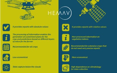
Drones vs Satellites
In recent times, drones have proven to be a reliable alternative when it comes to gathering information that would otherwise be provided by satellites in a faster and cheaper way. Typically, it's really not a question of "either/or" when it comes to deciding whether...
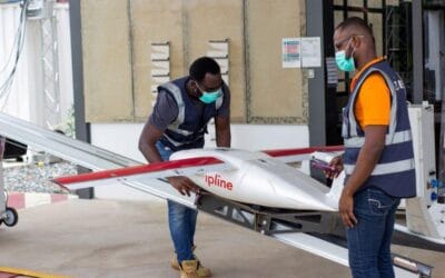
A done deal, as Kaduna State Signs MoU with Zipline to Deliver Vaccines with Drones
Zipline, an American company with a specialization in delivering medical products recently signed a memorandum of understanding with Kaduna State, to majorly take step towards reversing the losses of life to COVID-19, which has cost the state 57 lives as of Saturday,...
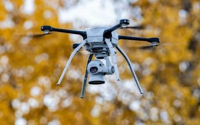
Drone Sensors and their application.
The need of drone is rapidly in use due to the various applications it tends to offer. And so, hopefully, by the year 2040, its applications will be amounting to a few hundred. Wide-area coverage of remote sensors and the high levels of detail and accuracy of ground...
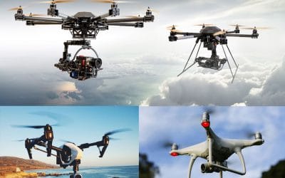
HOW WILL DRONE AFFECT THE FUTURE?
Introduction. Drone was first used by Militaries as a weapon of warfare, initial use of the technology in reconnaissance and ground attack roles. But over time, drones or UAV’s has been and is currently in use in various sectors of the economy, the most apparent...
For any inquires call now
Contact us
Do you have any query?