
- This event has passed.
GIS and Drone Training on Precision Agriculture
GIS and Drone Training on Precision Agriculture
5.0 ![]() (100% Practical) ▪ Exam & Certificate
(100% Practical) ▪ Exam & Certificate


What's Included in this Course
Free Software and Apps
Hands on Practical and Field Experience
Manual, Jotter and Biro
Test, Assessment and Exam
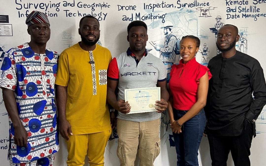
Certificate of Completion
Course Description:
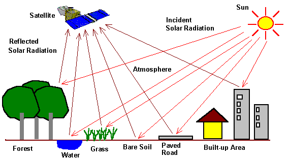
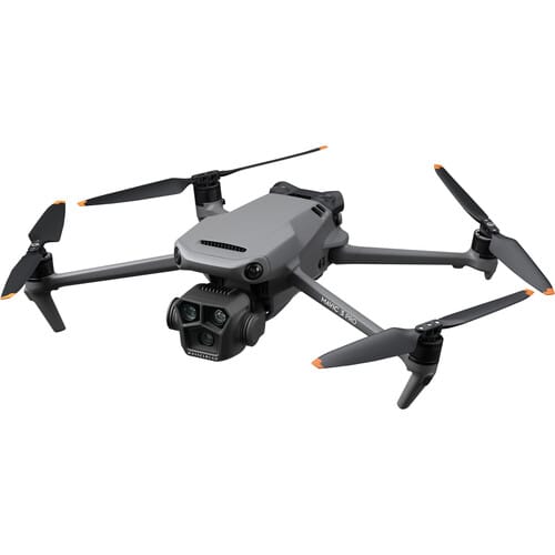
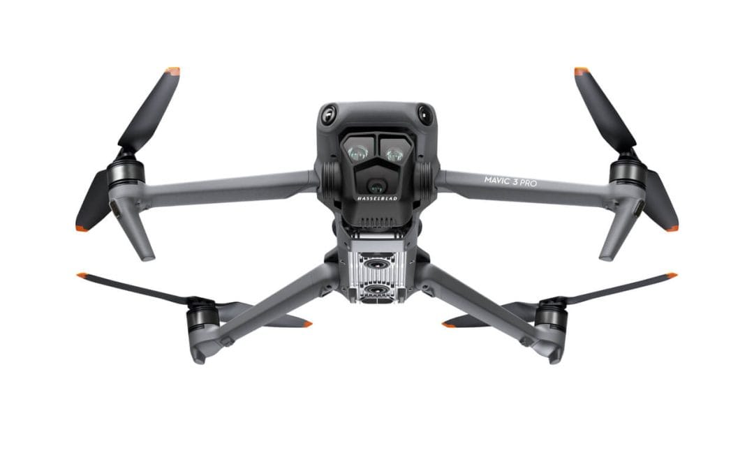
Drones, also known as Unmanned Aerial Vehicles (UAVs), offer numerous advantages that traditional surveying methods cannot match. They provide an efficient, cost-effective, and highly accurate means of capturing aerial data, precise measurements, smooth maneuverability, speedy and time-critical results enabling professionals to make informed decisions throughout project lifecycles.
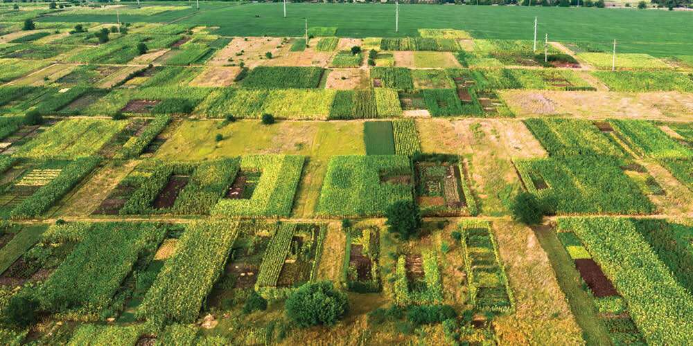
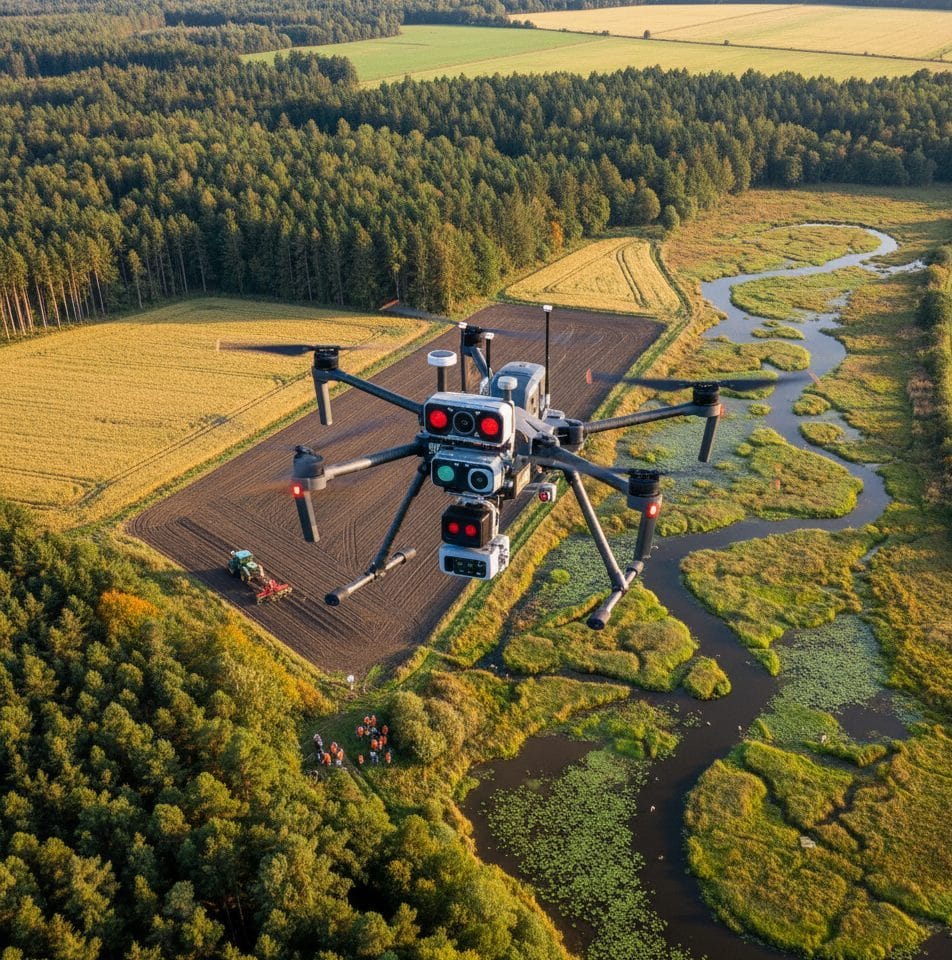
Drone Technology provides an advanced method for monitoring the health and growth of crops in order to increase crop production and divide large farms into management zones. This information equips farm managers, agriculturists and project managers in mapping farm layout, crop suitability zones and analysis and vegetation indices for an optimum farming operations and long term goals of sustainable development.
Course Highlights:
At the conclusion of this course, participants will be able to:
- Understand Drone regulations, reconnaissance survey, weather forecast, preflight checklist and flight planning
- Understand how to capture high-quality aerial imagery for survey, mapping and
inspection - Understand how to plan drone flight and safety
- Operate drone in different flight techniques, manual and automatic
- Monitor/Inspect activities and projects
- Perform drone survey and mapping operations
- Process drone data for support systems in Agriculture
- Understand methodologies to ensure data accuracy and precision, crucial for decision-making during agricultural projects
Our Certificate is Recognized by Top Industries

Certificate of completion
![]() Beginners to Intermediate GIS Mastering and Completion
Beginners to Intermediate GIS Mastering and Completion
![]() Increased job opportunities and career prospects
Increased job opportunities and career prospects
![]() Higher client confidence and trust
Higher client confidence and trust
Courses Modules
1. Drone Introduction
a. Introduction
b. Different drone terminologies
c. Overview of drone hardware component
d. Drone types
e. Drone regulations in Nigeria
f. No-fly zones Categories
g. Drone application and settings
h. Drone flying techniques
2. Drone Reconnaissance Survey, Weather Forecast, Preflight Checklist and Flight Planning
a. Reconnaissance Survey
b. Weather Forecast
c. Pre-flight Checklist
d. Nigeria No-Fly Zones
e. Flight Planning
3. Drone Operation and Flight Techniques
a. Drone Manual Flight Control (Take off and Return)
b. Automatic Flight Control (Take off and Return)
c. Professional Drone Flying Techniques
d. Drone Apps and Software Setup
e. Power Up and Getting into Drone Apps
13. Geoinfotech Online Test
14. Award Of Certificate
Share this course
Related Courses

Weekend Class Training
The flexible weekend class allows working professionals and students to upskill efficiently while gaining immediately applicable knowledge for careers in surveying, agriculture, real estate, construction, environmental management, and related fields. [ninja_form...

Drone Pilot for Beginners
Professional 3 Weekends ▪ Field Experience 5.0 (100% Practical) ▪ Exam & Certificate
Professional 6-7 Weekends ▪ Field Experience 5.0 (100% Practical) ▪ Exam & Certificate
The course AutoCAD for Land Surveying provides participants with practical skills for applying AutoCAD in survey analysis and plotting. Learners will gain hands-on experience in setting up and using AutoCAD software for survey data analysis, precise plotting, accurate...

Professional Drone Training Exam
2021 Workshop: Geospatial Analysis in GIS (ArcMap) for Fire Services in Lagos
2021 Workshop on Geospatial Analysis in GIS (ArcMap) for Fire Services in Lagos This analysis helps us on why, where and how many fire services needed to be deployed in Lagos Nigeria. Multicriterial Analysis AHP | Suitability Analysis in GIS Click Here to...

UAV Drone Foundation Exam
Take the drone skills to new heights and train with the Experts at Geoinfotech. Advance your career in Drone Surveying, Photography, 3D Mapping. The next-gen digital learning solution In your own time, learn at your own pace–without taking any time off work....
![[Beginners to Advanced] Geographic Information System (ArcGIS Desktop and ArcGIS Pro)](https://geoinfotech.ng/wp-content/uploads/2020/07/GIS-Online-Training-Geoinfotech-1-1080x675.jpeg)
[Beginners to Advanced] Geographic Information System (ArcGIS Desktop and ArcGIS Pro)
Do you want to learn GIS as a professional with a proper guide online and procedures on executing GIS Projects/Tasks? This introductory course is for you. We have Introduced a step-by-step template, software installation, free data and manual to help you learn and...