
- This event has passed.
Field data collection and management with ArcGIS

Field data collection and management with ArcGIS
Professional 2 Weekends ▪ Field Experience
5.0 ![]() (100% Practical) ▪ Exam & Certificate
(100% Practical) ▪ Exam & Certificate


What's Included in this Course
Free Software and Apps
Hands on Practical and Field Experience
Jotter and Biro
Test, Assessment and Exam
Certificate of Completion
Course Description:
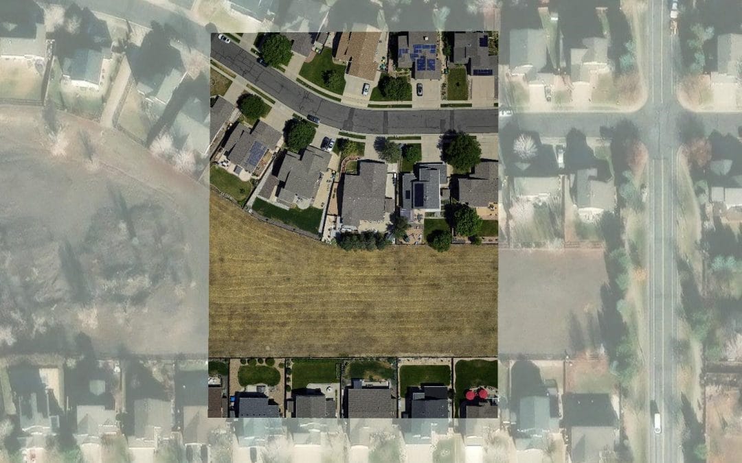
Learn how ArcGIS supports a complete field data management workflow. Field data collection and management with ArcGIS
Course Highlights:
- Field data management: Learn how ArcGIS supports complete workflows for field data.
- Data collection: Acquire techniques and tools for collecting field data with ArcGIS.
- Data organization: Develop skills in managing and organizing field data in ArcGIS.
- Seamless integration: Integrate field-collected data with other spatial datasets in ArcGIS.
Our Certificate is Recognized by Top Industries

![]()
Certificate of completion
![]() Field data collection and management with ArcGIS Mastering and Completion.
Field data collection and management with ArcGIS Mastering and Completion.
![]() Increased job opportunities and career prospects
Increased job opportunities and career prospects
![]() Higher client confidence and trust
Higher client confidence and trust
Courses Modules
1. Preparing for ArcGIS field apps
2. Preparing feature layers for field apps
3. Creating a web map for field apps
4. Creating smart forms with ArcGIS Survey123
5. Organizing your field activities with ArcGIS Dashboards
6. Geoinfotech Online Test
A. Exam and Assessment
7. Award Of Certificate
A. Certificate
Share this course

Weekend Class Training
The flexible weekend class allows working professionals and students to upskill efficiently while gaining immediately applicable knowledge for careers in surveying, agriculture, real estate, construction, environmental management, and related fields. [ninja_form...

The Real Estate Goldmine: Identifying Prime Investment Areas with Geospatial Intelligence
In today's fast-paced and competitive real estate market, identifying the right investment opportunities requires more than intuition, it requires the power of location intelligence. Discover how Geographic Information Systems (GIS), satellite imagery, demographic...

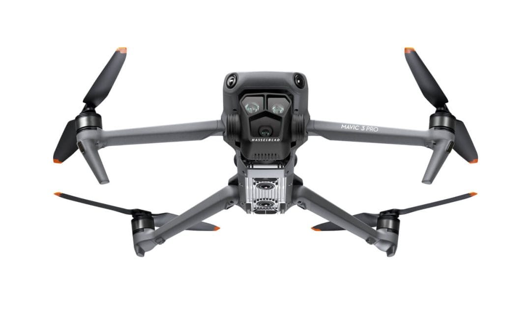
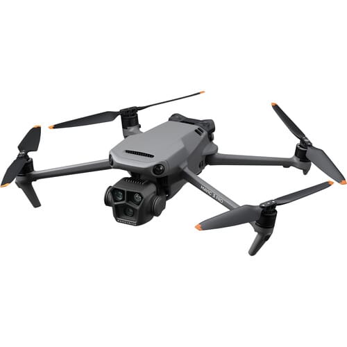
Drone Pilot for Beginners
Professional 3 Weekends ▪ Field Experience 5.0 (100% Practical) ▪ Exam & Certificate


Professional 6-7 Weekends ▪ Field Experience 5.0 (100% Practical) ▪ Exam & Certificate
The course AutoCAD for Land Surveying provides participants with practical skills for applying AutoCAD in survey analysis and plotting. Learners will gain hands-on experience in setting up and using AutoCAD software for survey data analysis, precise plotting, accurate...

Professional Drone Training Exam
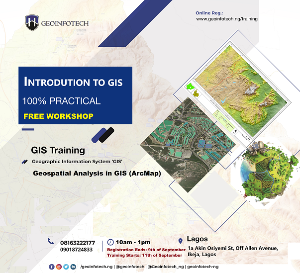
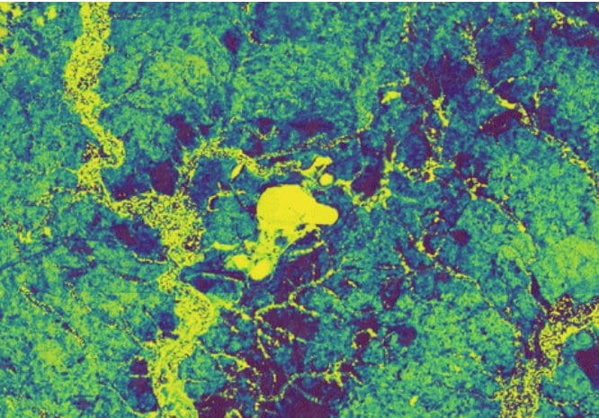
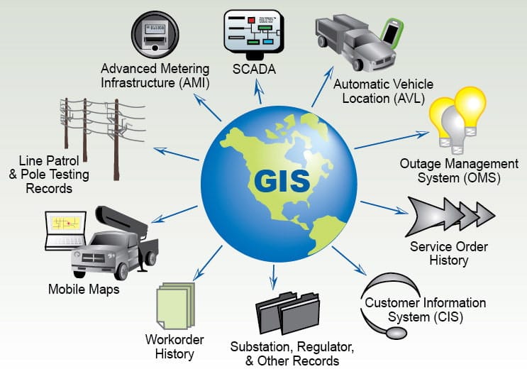
2021 Workshop: Geospatial Analysis in GIS (ArcMap) for Fire Services in Lagos
2021 Workshop on Geospatial Analysis in GIS (ArcMap) for Fire Services in Lagos This analysis helps us on why, where and how many fire services needed to be deployed in Lagos Nigeria. Multicriterial Analysis AHP | Suitability Analysis in GIS Click Here to...

UAV Drone Foundation Exam
Take the drone skills to new heights and train with the Experts at Geoinfotech. Advance your career in Drone Surveying, Photography, 3D Mapping. The next-gen digital learning solution In your own time, learn at your own pace–without taking any time off work....
![[Beginners to Advanced] Geographic Information System (ArcGIS Desktop and ArcGIS Pro)](https://geoinfotech.ng/wp-content/uploads/2020/07/GIS-Online-Training-Geoinfotech-1-1080x675.jpeg)
[Beginners to Advanced] Geographic Information System (ArcGIS Desktop and ArcGIS Pro)
Do you want to learn GIS as a professional with a proper guide online and procedures on executing GIS Projects/Tasks? This introductory course is for you. We have Introduced a step-by-step template, software installation, free data and manual to help you learn and...
![[Beginners to Advanced] AutoCAD for Land Surveying](https://geoinfotech.ng/wp-content/uploads/2025/08/WhatsApp-Image-2025-08-19-at-09.22.28_2dc55c5c-1080x675.jpg)
[Beginners to Advanced] AutoCAD for Land Surveying
The course AutoCAD for Land Surveying provides participants with practical skills for applying AutoCAD in survey analysis and plotting. Learners will gain hands-on experience in setting up and using AutoCAD software for survey data analysis, precise plotting, accurate...
Professional Drone Training Exam
2021 Workshop: Geospatial Analysis in GIS (ArcMap) for Fire Services in Lagos
2021 Workshop on Geospatial Analysis in GIS (ArcMap) for Fire Services in Lagos This analysis helps us on why, where and how many fire services needed to be deployed in Lagos Nigeria. Multicriterial Analysis AHP | Suitability Analysis in GIS Click Here to...
UAV Drone Foundation Exam
Take the drone skills to new heights and train with the Experts at Geoinfotech. Advance your career in Drone Surveying, Photography, 3D Mapping. The next-gen digital learning solution In your own time, learn at your own pace–without taking any time off work....
[Beginners to Advanced] Geographic Information System (ArcGIS Desktop and ArcGIS Pro)
Do you want to learn GIS as a professional with a proper guide online and procedures on executing GIS Projects/Tasks? This introductory course is for you. We have Introduced a step-by-step template, software installation, free data and manual to help you learn and...