Make better decisions with accurate 3D maps and models
SURVEYING
SURVEYING
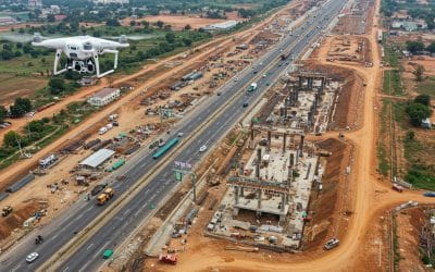
CONSTRUCTION
CONSTRUCTION
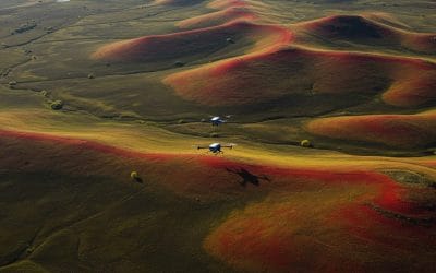
AGRICULTURE
AGRICULTURE
TELECOM
TELECOM
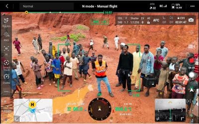
PUBLIC SAFETY
PUBLIC SAFETY
MINING
MINING
INSPECTION
INSPECTION

GEOGRAPHIC INFORMATION SYSTEM
We Create interactive maps to visualize and explore your data using various dynamic mapping software.
GEOGRAPHIC INFORMATION SYSTEM
- Geo-Spatial Analysis
- Web Mapping and Application
- Cartographic Mapping
- Data Sales
- Training
- More…
REMOTE SENSING
- Satellite Image Processing
- High Resolution Satellite Image Sales/Download
- Image Analysis of Digital Surface and Terrain Models (DSM, DTM) with precisions far higher than any other product.
- Training
- More…
GEO STORE
Download free and paid datasets, software, and maps. Get the best quality UAV (Drone) Products, GPS, Manuals, and other GeoTech Equipment.
Mission Planning
Data Acquisition
Area Mapping and Inspection
Data Analysis
Our Portfolio
Explore Recent Drone Projects


Our Blog
Read the latest from Geoinfotech

How to Keep Your Drones Flying High: The Ultimate Guide to Drone Care and Performance
Drones have become indispensable tools across industries, from capturing aerial imagery for GIS mapping to monitoring crops in precision agriculture and inspecting hard-to-reach infrastructure. But like any high-tech equipment, drones require regular care to perform...
How Drone-Based Remote Sensing Enhances Site Supervision in Nigeria
Efficient site supervision is the backbone of every successful construction project—especially in a fast-developing country like Nigeria, where infrastructure growth is racing to keep up with urbanisation, population growth, and shifting climate demands. From Lagos to...
Geoinfotech Uses Drone and GIS Technology to Uncover the Source and Solution to the Devastating Mokwa Flood
In a bid to address the devastating effects of the recent flooding in Mokwa, Niger State, Nigerian geospatial firm Geoinfotech Resources Ltd deployed cutting-edge drone and GIS technology to trace the root cause, assess the damage, and propose lasting solutions. The...
How Drone Mapping Is Revolutionizing Land Surveying in Nigeria
Land surveying has always been a critical part of development in Nigeria. Whether it’s for real estate, road construction, mining, agriculture, or urban planning, understanding the land is always the first step. For years, surveyors have depended on manual tools and...
For any inquires call now
Contact us
Do you have any query?