GEOINFOTECH
UPCOMING EVENT
Day(s)
:
Hour(s)
:
Minute(s)
:
Second(s)
[widget id=”eventscalendarsearchaddonwidget-2″]

Weekend Class Training
The flexible weekend class allows working professionals and students to upskill efficiently while gaining immediately applicable knowledge for careers in…

Drone Pilot for Beginners
The Drone Beginners Training course is a comprehensive program designed to equip participants with the necessary skills and knowledge to operate drones effectively and safely in a professional setting.
Duration: 3 Weekends (Every Friday 2pm and Saturday 10am)
Package: Field Experience, 100% Hands-on practical, jotter, Biro and Software Others, Test, Exam and Certificate.
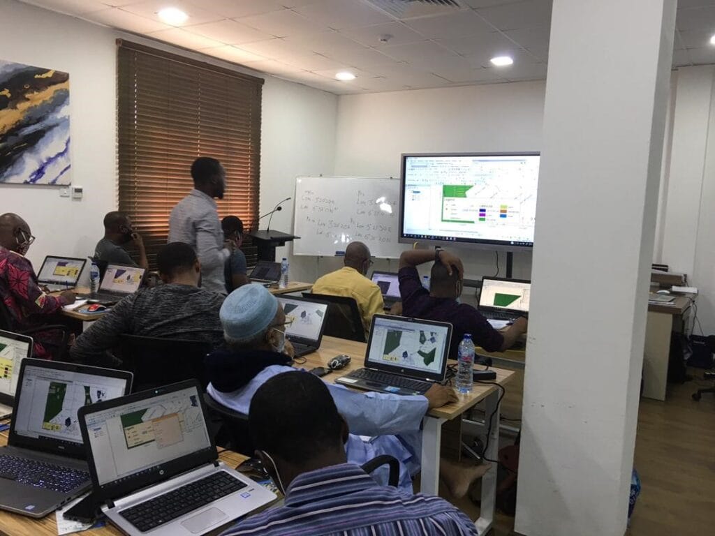
[Beginners to Advanced Class] Geographic Information System (ArcGIS Desktop and ArcGIS Pro)
This course will develop your skills in spatial data analysis, making maps application of Python, apply SQL as a standard language for accessing and manipulating databases.
Duration: 3 Weekends (Every Friday 2pm and Saturday 10am)
Package: Field Experience, 100% Hands-on practical, jotter, Biro and Software Others, Test, Exam and Certificate.
[Beginners to Intermediate] Geographic Information System (ArcGIS Desktop and ArcGIS Pro)
GIS principles and ArcGIS techniques are implemented in this course to simulate real-world features, explore patterns, and make better decisions.
Duration: 4 Weekends (Every Friday 2pm and Saturday 10am)
Package: Field Experience, 100% Hands-on practical, jotter, Biro and Software Others, Test, Exam and Certificate.

Drone Pilot for Beginners to Professional
The Drone Professional Training course is a comprehensive program designed to equip participants with the necessary skills and knowledge to operate drones effectively and safely in a professional setting.
Duration: 3 Weekends (Every Friday 2pm and Saturday 10am)
Package: Field Experience, 100% Hands-on practical, jotter, Biro and Software Others, Test, Exam and Certificate.

Training on AutoCAD for Surveying and Mapping
Duration: 4 Weekends (Every Friday 2pm and Saturday 10am)
Package: Field Experience, 100% Hands-on practical, jotter, Biro and Software Others, Test, Exam and Certificate.
COMPLETED EVENT
JULY 25
LIVE SEMINAR ON POST COVID-19: GEOSPATIAL TECHNOLOGY & URBAN DYNAMICS
OCT 16
Abuja GIS Masterclass Training
Hire Me