
Drone Pilot for Beginners

Drone Pilot for Beginners
5.0 ![]() (100% Practical) ▪ Exam & Certificate
(100% Practical) ▪ Exam & Certificate


What's Included in this Course
Free Software and Apps
Hands on Practical and Field Experience
Jotter and Biro
Test, Assessment and Exam
Certificate of Completion
Course Description:
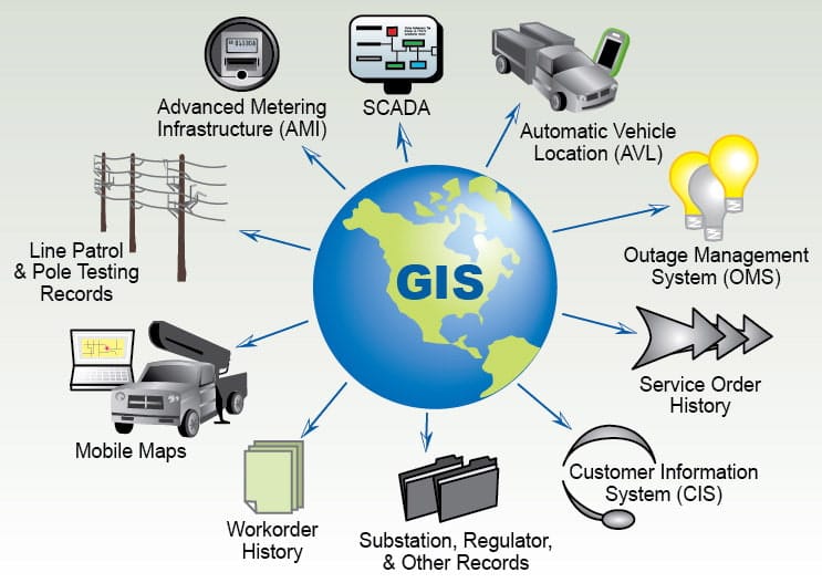
The Drone Beginners Training course is a comprehensive program designed to equip participants with the necessary skills and knowledge to operate drones effectively and safely in a professional setting. Drones, also known as unmanned aerial vehicles (UAVs), have become increasingly prevalent across various industries, including photography and videography, agriculture, surveying and mapping, inspection and maintenance, and public safety. This course aims to bridge the gap between theoretical knowledge and practical expertise, enabling participants to excel in the rapidly expanding field of drone technology.
Course Highlights:
- Comprehensive theoretical knowledge of drone technology and operations.
- In-depth understanding of drone regulations and safety protocols.
- Hands-on training in drone piloting, aerial photography, and data collection.
- Exploration of advanced drone technologies and emerging industry trends.
- Real-world case studies and practical exercises to enhance learning.
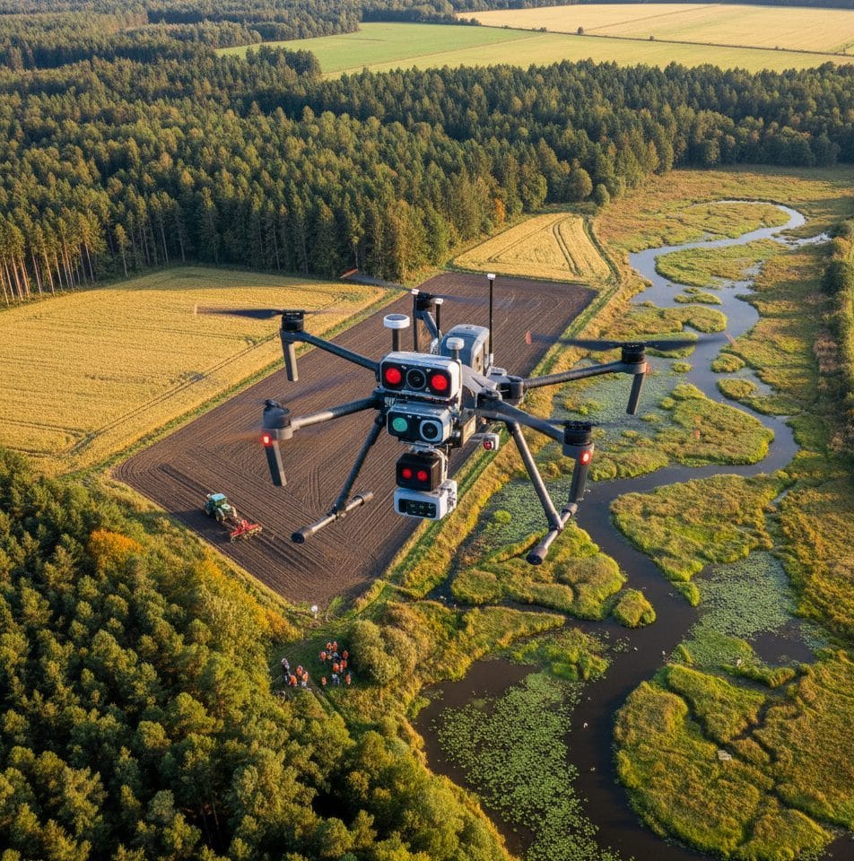
Drone used in this Course

DJI Matrice
Our Certificate is Recognized by Top Industries

Certificate of completion
![]() Operate drones confidently in complex environments
Operate drones confidently in complex environments
![]() Increased job opportunities and career prospects
Increased job opportunities and career prospects
![]() Higher client confidence and trust
Higher client confidence and trust
Courses Modules
1. Introduction
2. Drone hardware Components
3. Drone Types
4. Drone Sensors
5. Drone Settings and functions
6. Drone Regulations In Nigeria (NCAA Requirement and Registration)
7. ROT Certification Procedure
8. Drone Insurance
9. Federal Aviation Administration (FAA)
10. NOTAM (Notice to Airmen)
11. No- Zone Areas
12. Professional Applications and Service Area
13. Reconnaissance Survey and Weather Condition
14. Pre-flight checklist
15. Unmanned Aircraft System (UAS)
16. Calibration
17. Automatic & Manual Flight
18. Accelerometer
19. Tracking
20. Collision/Obstacle Avoidance
21. Take-Off and Return manual
22. Data Photography / Video
23. Drone Apps and Software
24. Online Test & Assessment
25. Certification
Upon completion of the Drone Professional Training course, participants will possess the expertise required to operate drones safely and effectively in a professional capacity. They will be well-versed in the legal and regulatory frameworks governing drone operations and will have the practical skills to undertake various drone-related tasks in their respective industries. This course opens up exciting career opportunities in fields such as aerial photography, agriculture, infrastructure inspection, surveying, and many more.
Share this course
Related Courses

No Maps, No Direction; Why Policies Fails
Policies fail when decisions are made without spatial understanding. Without maps and location-based data, policymakers operate in the dark, unable to clearly see where problems exist, who they affect, and how resources should be allocated. [ninja_form...
![[Beginners to Professional] short training program](https://geoinfotech.ng/wp-content/uploads/2026/01/Artboard-2-1080x675.jpg)
[Beginners to Professional] short training program
Our professional short courses deliver practical, hands-on training in GIS, Drone Operations, and Surveying, designed to build industry-ready skills in a short time.
NYSC Career Acceleration Program
The NYSC Career Acceleration Training Program is designed to equip corps members with industry-relevant geospatial and surveying skills that enhance employability, entrepreneurship, and professional competence after service year. The program combines theoretical...
![[Beginners to Intermediate] Geographic Information System (ArcGIS Desktop and ArcGIS Pro)](https://geoinfotech.ng/wp-content/uploads/2024/08/today4-1-1080x675.jpg)
[Beginners to Intermediate] Geographic Information System (ArcGIS Desktop and ArcGIS Pro)


The course AutoCAD for Land Surveying provides participants with practical skills for applying AutoCAD in survey analysis and plotting. Learners will gain hands-on experience in setting up and using AutoCAD software for survey data analysis, precise plotting, accurate...

Part 107 Small Uas- Part 61 Initial Mock Test
2021 Workshop: Geospatial Analysis in GIS (ArcMap) for Fire Services in Lagos
2021 Workshop on Geospatial Analysis in GIS (ArcMap) for Fire Services in Lagos This analysis helps us on why, where and how many fire services needed to be deployed in Lagos Nigeria. Multicriterial Analysis AHP | Suitability Analysis in GIS Click Here to...

UAV Drone Foundation Exam
Take the drone skills to new heights and train with the Experts at Geoinfotech. Advance your career in Drone Surveying, Photography, 3D Mapping. The next-gen digital learning solution In your own time, learn at your own pace–without taking any time off work....
![[Beginners to Intermediate] Geographic Information System (ArcGIS Desktop and ArcGIS Pro)](https://geoinfotech.ng/wp-content/uploads/2020/07/GIS-Online-Training-Geoinfotech-1-1080x675.jpeg)
[Beginners to Intermediate] Geographic Information System (ArcGIS Desktop and ArcGIS Pro)
Do you want to learn GIS as a professional with a proper guide online and procedures on executing GIS Projects/Tasks? This introductory course is for you. We have Introduced a step-by-step template, software installation, free data and manual to help you learn and...