
- This event has passed.
GIS and Remote Sensing for Maritime
GIS and Remote Sensing for Maritime
Professional 5 Weekends ▪ Field Experience
5.0 ![]() (100% Practical) ▪ Exam & Certificate
(100% Practical) ▪ Exam & Certificate


What's Included in this Course
Free Software and Apps
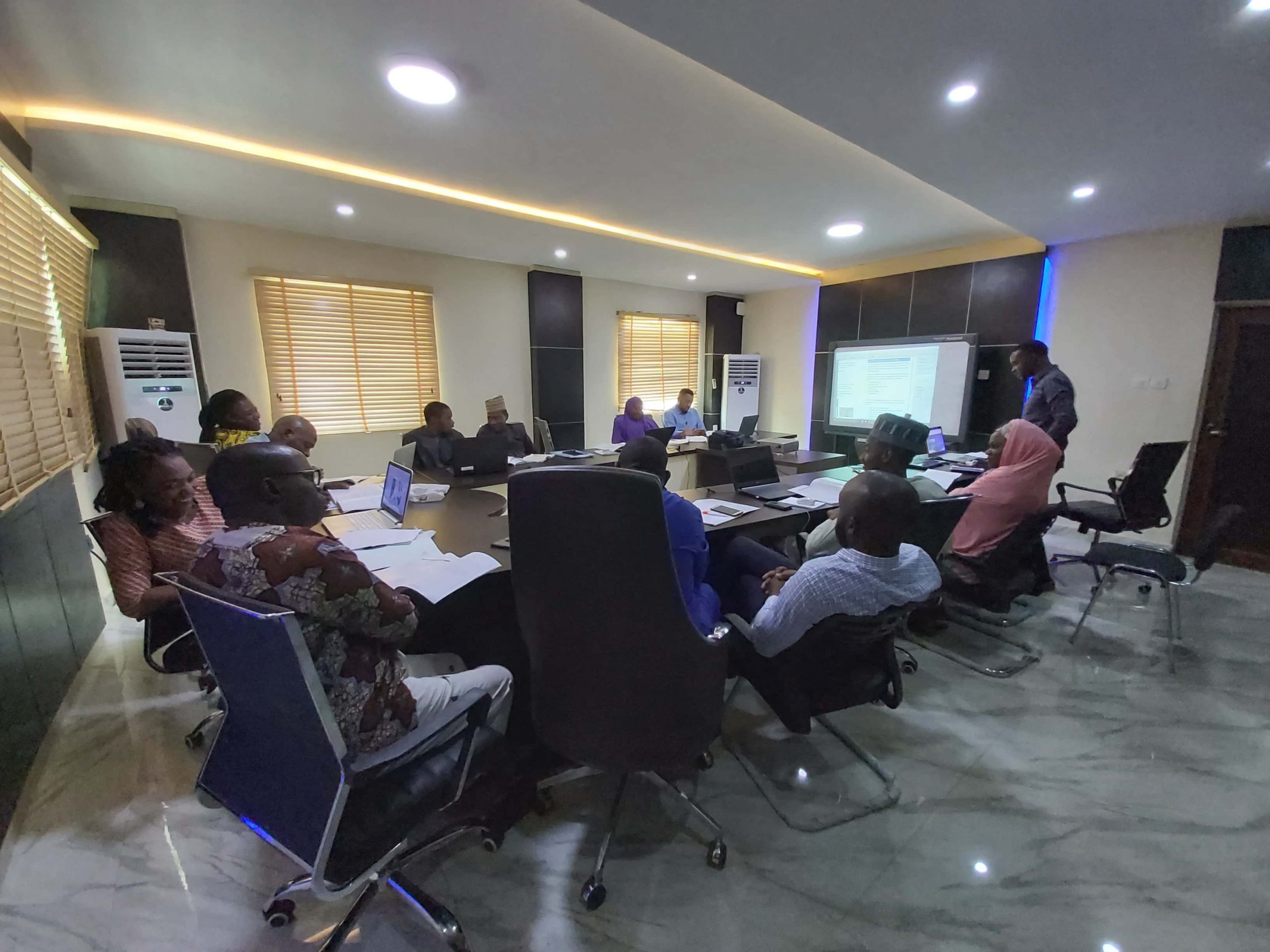
Hands on Practical and Field Experience
Jotter and Biro
Test, Assessment and Exam
Certificate of Completion
Course Description:
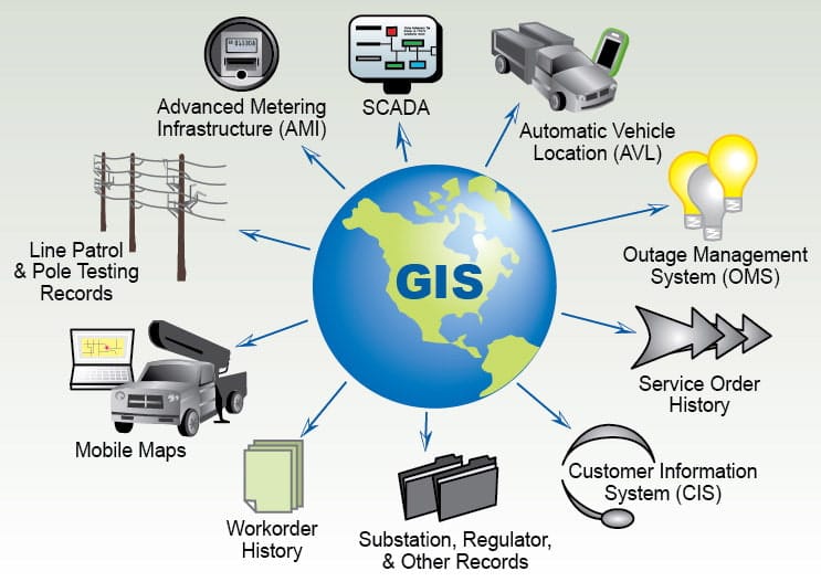
Training is applicable to beginners and professionals. This course teaches you how to create, cartographically, and maintain marine data, coordinate plotting, and boundary delineation from start to finish. Advance your skills professionally and apply advanced GIS in Maritime database management and chart manufacturing program incorporated in geodatabase templates. Learn the fundamentals of GIS and how to use ArcGIS for Maritime Analysis
Course Highlights:
- Comprehensive training: Covers marine data creation, cartography, and boundary delineation for all levels.
- Advanced GIS for maritime management: Learn advanced techniques using geodatabase templates.
- Practical hands-on approach: Gain real-world experience in coordinate plotting, boundary delineation, and data maintenance.
- Power of ArcGIS: Utilize ArcGIS for Maritime Analysis, unlocking powerful spatial tools.
Our Certificate is Recognized by Top Industries

![]()
Certificate of completion
![]() GIS for Maritime Mastering and Completion
GIS for Maritime Mastering and Completion
![]() Increased job opportunities and career prospects
Increased job opportunities and career prospects
![]() Higher client confidence and trust
Higher client confidence and trust
Courses Modules
1. Introduction to ArcGIS Pro Essential Workflow
A. Project Creation
B. Data Management
C. Map Creation
D. Spatial Analysis
E. Editing and Data Creation
F. Sharing and Collaboration
G. Automation and Scripting
H. 3D Visualization
I. Documentation and Reporting
2. Introduction to ArcGIS Spatial Analysis
A. Data Exploration
B. Geoprocessing
C. Spatial Querying
D. Network Analysis
E. Spatial Statistics
F. 3D Analysis
G. Modeling and Automation
H. Visualization and Communication
3. Building Geodatabases
A. Creating Geodatabases
B. Designing Geodatabase Schema
C. Data Loading and Editing
D. Geodatabase Management
E. Data Integrity and Validation
F. Querying and Analysis
4. Maritime Boundary - Data Collection and Management
A. Legal Framework and Policy
B. Data Sources
C. Data Preparation
D. Geospatial Analysis
E. Boundary Delimitation
F. Database Management
G. Metadata Documentation
H. Regular Updates
I. Collaboration and Data Sharing
J. Data Dissemination
5. Building Martitime Geodatabase Management System
A. Identify Data Requirements
B. Database Design
C. Select Database Management System (DBMS)
D. Data Loading and Integration
E. Data Validation and Quality Control
F. Metadata Management
G. Access Control and Security
H. Versioning and Collaboration
I. Geospatial Analysis and Tools
J. Data Updates and Maintenance
L. User Interface and Applications
M. Documentation and Training
6. Geoinfotech Online Test
A. Exam and Assessment
7. Award Of Certificate
A. Certificate
Share this course
Related Courses
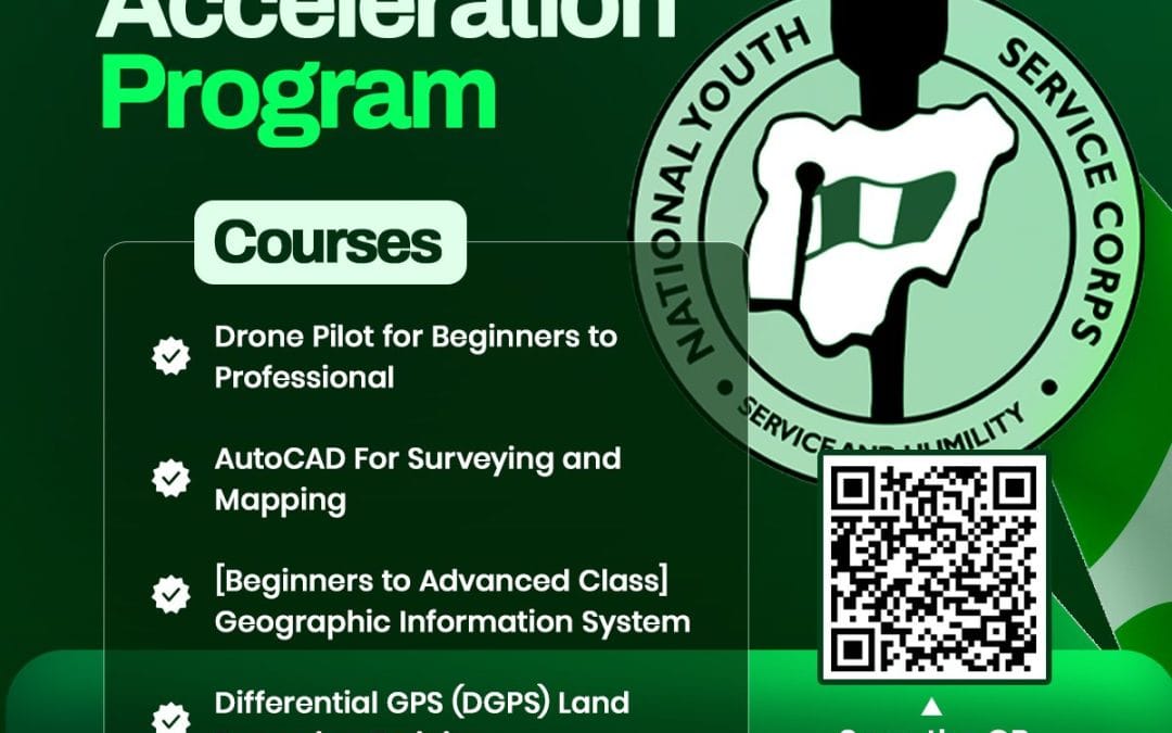
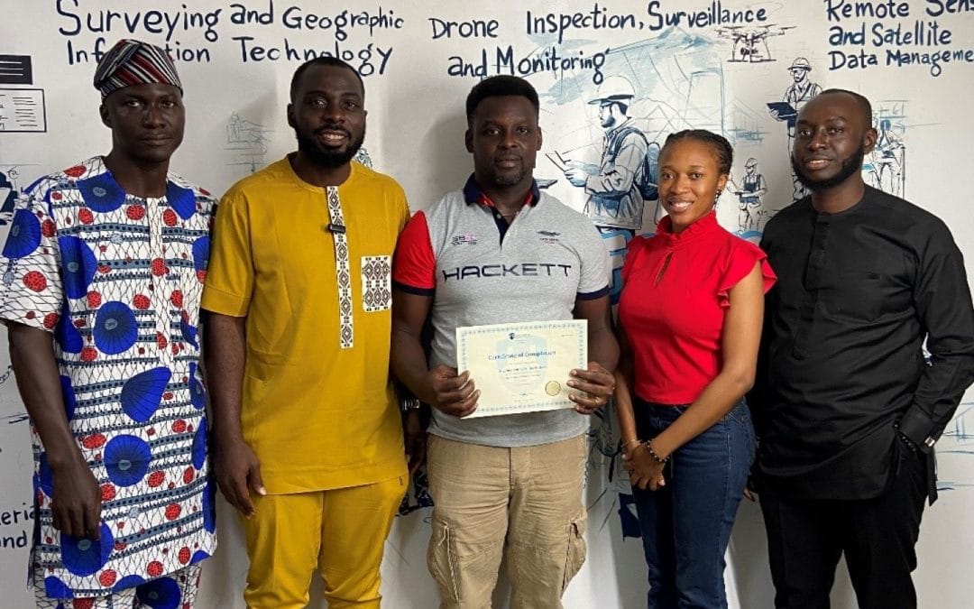
NYSC Career Acceleration Program
The NYSC Career Acceleration Training Program is designed to equip corps members with industry-relevant geospatial and surveying skills that enhance employability, entrepreneurship, and professional competence after service year. The program combines theoretical...

Drone Pilot for Beginners
Professional 3 Weekends ▪ Field Experience 5.0 (100% Practical) ▪ Exam & Certificate

Professional 6-7 Weekends ▪ Field Experience 5.0 (100% Practical) ▪ Exam & Certificate
The course AutoCAD for Land Surveying provides participants with practical skills for applying AutoCAD in survey analysis and plotting. Learners will gain hands-on experience in setting up and using AutoCAD software for survey data analysis, precise plotting, accurate...

Professional Drone Training Exam
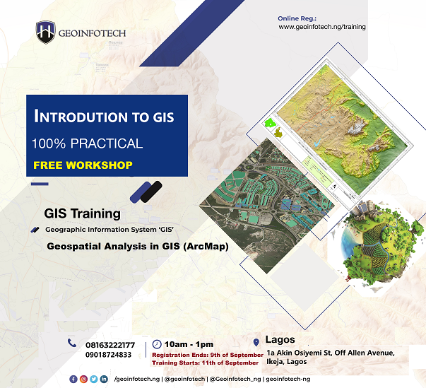
2021 Workshop: Geospatial Analysis in GIS (ArcMap) for Fire Services in Lagos
2021 Workshop on Geospatial Analysis in GIS (ArcMap) for Fire Services in Lagos This analysis helps us on why, where and how many fire services needed to be deployed in Lagos Nigeria. Multicriterial Analysis AHP | Suitability Analysis in GIS Click Here to...

UAV Drone Foundation Exam
Take the drone skills to new heights and train with the Experts at Geoinfotech. Advance your career in Drone Surveying, Photography, 3D Mapping. The next-gen digital learning solution In your own time, learn at your own pace–without taking any time off work....
![[Beginners to Advanced] Geographic Information System (ArcGIS Desktop and ArcGIS Pro)](https://geoinfotech.ng/wp-content/uploads/2020/07/GIS-Online-Training-Geoinfotech-1-1080x675.jpeg)
[Beginners to Advanced] Geographic Information System (ArcGIS Desktop and ArcGIS Pro)
Do you want to learn GIS as a professional with a proper guide online and procedures on executing GIS Projects/Tasks? This introductory course is for you. We have Introduced a step-by-step template, software installation, free data and manual to help you learn and...