404
Oops!, that page can’t be found.
There are other options that might interest you below
Oops!, that page can’t be found.
There are other options that might interest you below
Search Results
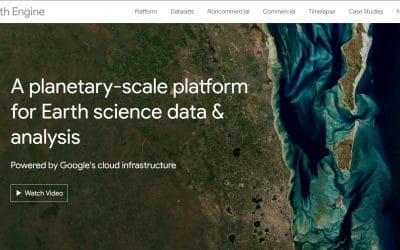
How to Extract Insights from Satellite Imagery Using Google Earth Engine
Satellite imagery has revolutionized environmental monitoring, urban planning, agriculture, and disaster management. With vast amounts of Earth observation data available, extracting meaningful insights can be challenging. Google Earth Engine (GEE), a cloud-based...
Understanding Spatial Data: Vector vs. Raster and When to Use Each
Spatial data is the foundation of Geographic Information Systems (GIS), helping us analyze and visualize geographic features. In GIS, spatial data is primarily categorized into Vector and Raster formats. Understanding the differences between these data types and when...
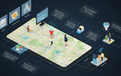
Location Intelligence: Using GIS for Business Expansion & Market Analysis
In today’s data-driven world, businesses need precise insights to make informed decisions. Location Intelligence (LI)—powered by Geographic Information Systems (GIS)—helps companies analyze spatial data to identify trends, optimize operations, and drive growth. What...
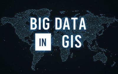
BIG DATA IN GIS – PROCESSING AND ANALYZING MASSIVE SPATIAL DATA EFFICIENTLY
Geographic Information Systems (GIS) have evolved from handling small-scale spatial datasets to processing massive geospatial data from satellites, IoT devices, and real-time sensors. With the rise of big data, GIS professionals need efficient methods to store,...
Real-Time GIS – Tracking Live Geospatial Data Streams
Geographic Information Systems (GIS) have evolved from static spatial analysis tools to dynamic platforms that can process and visualize real-time data. Real-time GIS enables organizations to track live geospatial data streams, facilitating decision-making across...

Unlocking the Power of GeoAI for Predictive Analytics
In today’s data-driven world, the fusion of Artificial Intelligence (AI) and Geographic Information Systems (GIS)—known as GeoAI—is revolutionizing how we analyze and interpret spatial data. One of the most impactful applications of GeoAI is in predictive analytics,...

The Future of GIS & Remote Sensing: Are We Replacing Analysts with AI
The Rise of AI in GIS & Remote Sensing—Will Analysts Become Obsolete? For years, GIS and remote sensing have been dominated by highly skilled analysts who process satellite imagery, extract insights, and make critical spatial decisions. But with the rapid...
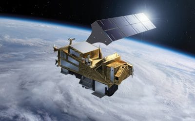
Exploring Sentinel-5: Monitoring Air Quality with Advanced Satellite Technology
Air pollution and climate change are two of the most pressing environmental challenges of our time. To address these issues, the European Space Agency (ESA) developed the Sentinel-5 satellite as part of the Copernicus Programme. This satellite plays a crucial role in...
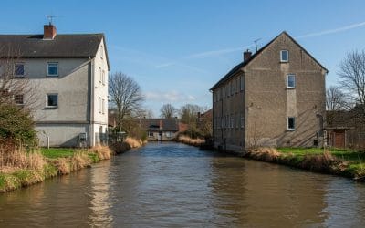
FLOOD RISK ANALYSIS IN ARCGIS PRO
Flood risk analysis in ArcGIS Pro helps identify flood-prone areas using Digital Elevation Model (DEM), land use, rainfall, and hydrological data. Here’s a detailed step-by-step guide: Step 1: Collect and Prepare Data You need the following datasets: ✅ Digital...
CONTACT US