
- This event has passed.
[Beginners] Geographic Information System (ArcGIS Desktop and ArcGIS Pro)

[Beginners] Geographic Information System (ArcGIS Desktop and ArcGIS Pro)
5.0 ![]() (100% Practical) ▪ Exam & Certificate
(100% Practical) ▪ Exam & Certificate


What's Included in this Course
Free Software and Apps
Hands on Practical and Field Experience
Manual, Jotter and Biro
Test, Assessment and Exam
Certificate of Completion
Course Description:
GIS fundamental principles and ArcGIS techniques are implemented in this course. You can work with GIS maps, explore data, and analyze maps and data. Learn and Develop your skills in making maps. GIS Beginners Class
Course Highlights:
- Use the new GIS technology to solve spatial problems
- GIS feature databases and non-spatial databases.
- Manage GIS projects from launch through to evaluation.
Our Certificate is Recognized by Top Industries

Certificate of completion
![]() GIS for Beginners Mastering and Completion.
GIS for Beginners Mastering and Completion.
![]() Increased job opportunities and career prospects
Increased job opportunities and career prospects
![]() Higher client confidence and trust
Higher client confidence and trust
Courses Modules
1. Fundamentals and Principles
2. GIS Data Model
3. Introduction to ArcGIS
4. Introduction to Arc Catalog
5. Coordinate System and Coordinate Format
6. Georeferencing, Geocoding and Geotagging
7. Data Collection and Management
8. GIS and GPS Surveying Integration
9. Data Format and Data Conversion
10. Cartography and Visualization of GIS Projects
11. Geoinfotech Online Test
12. Award Of Certificate
Share this course

1000 University Student in Drone and GIS
This course is designed to equip university students with the essential knowledge and practical skills needed to become proficient in drone piloting and Geographic Information Systems (GIS). Students will gain hands-on experience in flight planning, drone operations,...

Spatial Analysis using ArcGIS
Professional 2 Weekends ▪ Field Experience 5.0 (100% Practical) ▪ Exam & Certificate
The course AutoCAD for Land Surveying provides participants with practical skills for applying AutoCAD in survey analysis and plotting. Learners will gain hands-on experience in setting up and using AutoCAD software for survey data analysis, precise plotting, accurate...

Part 107 Small Uas- Part 61 Initial Mock Test
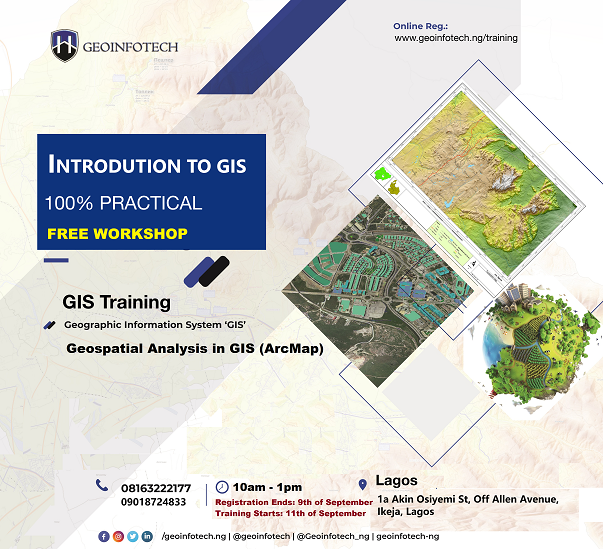
2021 Workshop: Geospatial Analysis in GIS (ArcMap) for Fire Services in Lagos
2021 Workshop on Geospatial Analysis in GIS (ArcMap) for Fire Services in Lagos This analysis helps us on why, where and how many fire services needed to be deployed in Lagos Nigeria. Multicriterial Analysis AHP | Suitability Analysis in GIS Click Here to...

UAV Drone Foundation Exam
Take the drone skills to new heights and train with the Experts at Geoinfotech. Advance your career in Drone Surveying, Photography, 3D Mapping. The next-gen digital learning solution In your own time, learn at your own pace–without taking any time off work....
![[Beginners to Intermediate] Geographic Information System (ArcGIS Desktop and ArcGIS Pro)](https://geoinfotech.ng/wp-content/uploads/2020/07/GIS-Online-Training-Geoinfotech-1-1080x675.jpeg)
[Beginners to Intermediate] Geographic Information System (ArcGIS Desktop and ArcGIS Pro)
Do you want to learn GIS as a professional with a proper guide online and procedures on executing GIS Projects/Tasks? This introductory course is for you. We have Introduced a step-by-step template, software installation, free data and manual to help you learn and...
![[Beginners to Advanced] AutoCAD for Land Surveying](https://geoinfotech.ng/wp-content/uploads/2025/08/WhatsApp-Image-2025-08-19-at-09.22.28_2dc55c5c-1080x675.jpg)
[Beginners to Advanced] AutoCAD for Land Surveying
The course AutoCAD for Land Surveying provides participants with practical skills for applying AutoCAD in survey analysis and plotting. Learners will gain hands-on experience in setting up and using AutoCAD software for survey data analysis, precise plotting, accurate...
Part 107 Small Uas- Part 61 Initial Mock Test
2021 Workshop: Geospatial Analysis in GIS (ArcMap) for Fire Services in Lagos
2021 Workshop on Geospatial Analysis in GIS (ArcMap) for Fire Services in Lagos This analysis helps us on why, where and how many fire services needed to be deployed in Lagos Nigeria. Multicriterial Analysis AHP | Suitability Analysis in GIS Click Here to...
UAV Drone Foundation Exam
Take the drone skills to new heights and train with the Experts at Geoinfotech. Advance your career in Drone Surveying, Photography, 3D Mapping. The next-gen digital learning solution In your own time, learn at your own pace–without taking any time off work....
[Beginners to Intermediate] Geographic Information System (ArcGIS Desktop and ArcGIS Pro)
Do you want to learn GIS as a professional with a proper guide online and procedures on executing GIS Projects/Tasks? This introductory course is for you. We have Introduced a step-by-step template, software installation, free data and manual to help you learn and...