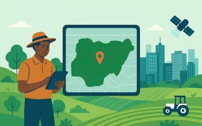
Introduction Land is one of Nigeria’s most valuable and sensitive assets, serving as the...
GIS and Remote Sensing
YOU MAY ALSO LIKE...
Data Collection and Integration: Methods, Workflow, and Applications
Data collection and integration are fundamental to modern geospatial analysis, engineering...
Using Maps in Emergencies: How Mapping Saves Time and Lives
In emergency situations, time is the most critical factor influencing outcomes. Whether responding...
Top 10 Reasons to Become a Certified Drone Pilot in Nigeria
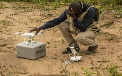
The use of drones, officially known as Unmanned Aerial Vehicles (UAVs), is expanding rapidly...
From Data to Decisions: The Role of GIS Analysts in Modern Organizations
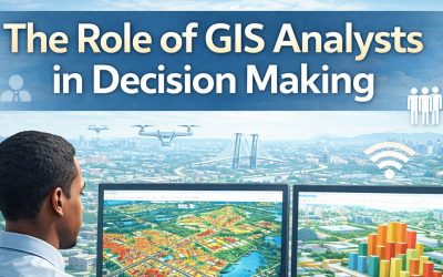
Organizations today generate vast amounts of data from population records, infrastructure systems,...
Empowering the Future: How GeoinfoAcademy is Training the Next Generation of Geospatial Professionals
Introduction Geospatial data has become a critical resource in today’s data-driven economy. From...


