
- This event has passed.
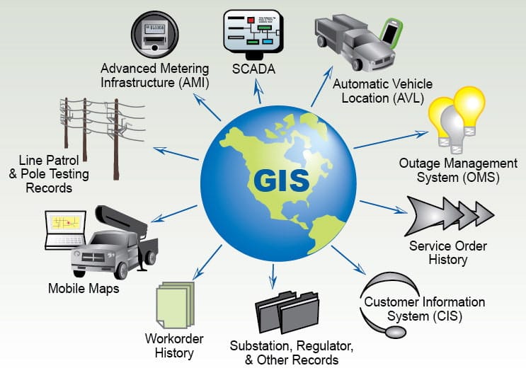
GIS and Remote Sensing for Agriculture

GIS and Remote Sensing for Agriculture
Professional 4 Weekends ▪ Field Experience
5.0 ![]() (100% Practical) ▪ Exam & Certificate
(100% Practical) ▪ Exam & Certificate

What's Included in this Course
Free Software and Apps
Hands on Practical and Field Experience
Manual, Jotter and Biro
Test, Assessment and Exam
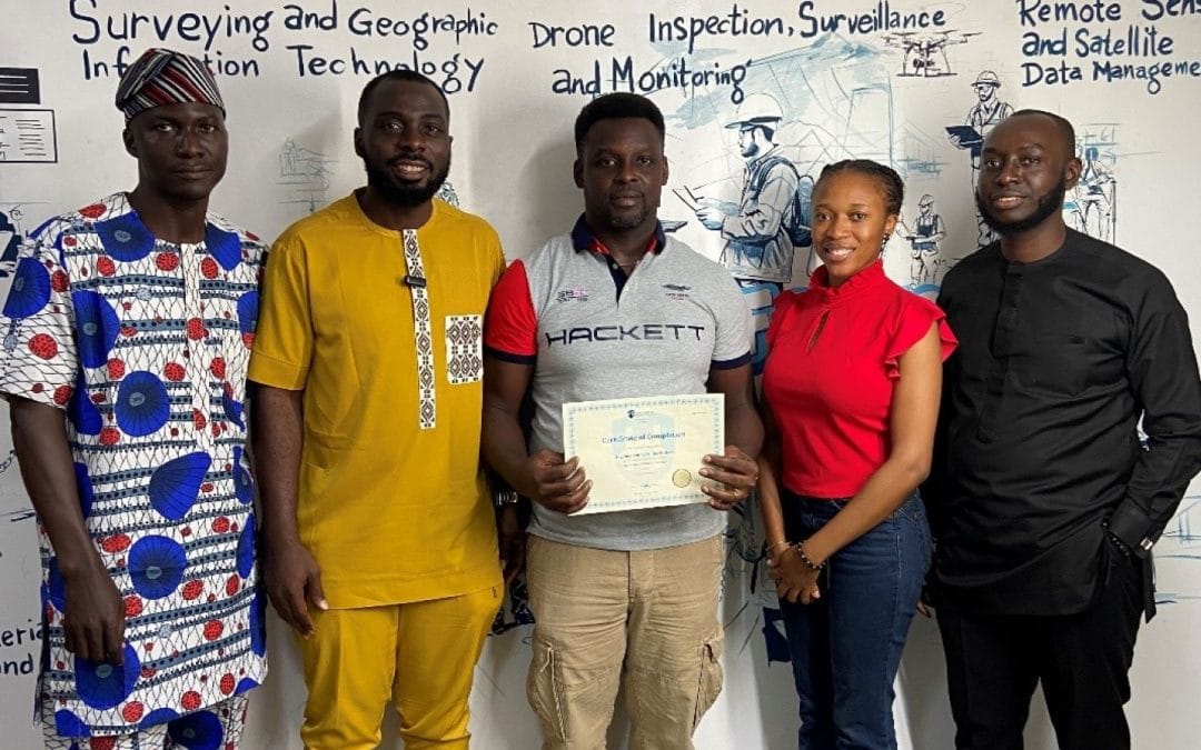
Certificate of Completion
Course Description:
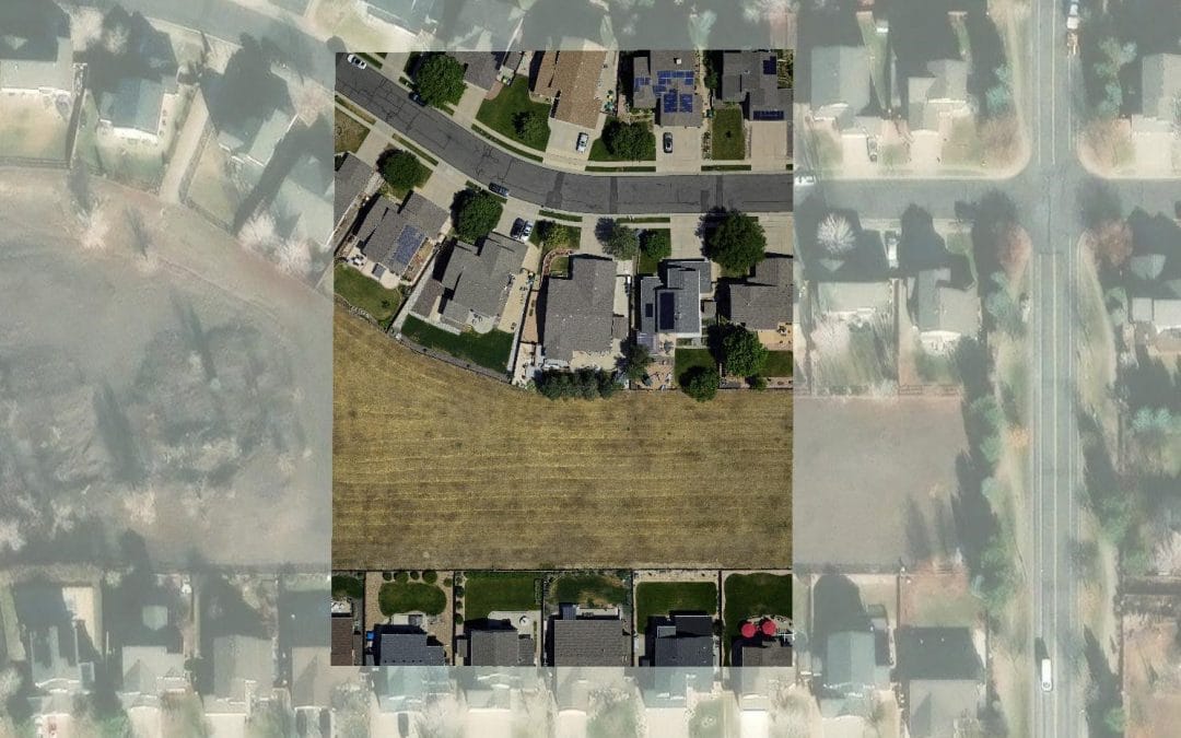
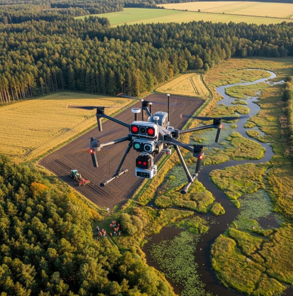
The course “GIS and Remote Sensing for Agriculture” equips participants with valuable skills for applying geospatial technology in agricultural contexts. Participants will learn to utilize Geographic Information Systems (GIS) and remote sensing tools to make informed decisions for crop management, land use planning, and resource allocation. By mastering these techniques, participants can enhance agricultural productivity through optimized resource utilization, better monitoring of crop health, and effective decision-making based on spatial data analysis.
Course Highlights:
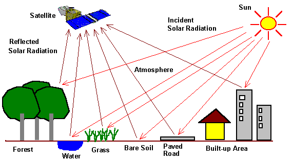
- Basic Remote Sensing Concepts
- Data Collection and Preprocessing
- Spatial Data Analysis.
- Crop Monitoring and Management
- Land Use Planning and Decision Making
- Remote Sensing Applications in Agriculture
Our Certificate is Recognized by Top Industries

![]()
Certificate of completion
![]() GIS and Remote Sensing for Agriculture Mastering and Completion
GIS and Remote Sensing for Agriculture Mastering and Completion
![]() Increased job opportunities and career prospects
Increased job opportunities and career prospects
![]() Higher client confidence and trust
Higher client confidence and trust
Courses Modules
1. Introduction to GIS and Remote Sensing in Agriculture
A. Definition and principles of GIS and remote sensing
B. Importance and benefits of GIS and remote sensing in agriculture
C. Overview of agricultural applications and case studies
2. Geographic Information Systems (GIS) Fundamentals
A. Basic components and functionality of GIS
B. Geospatial data types and formats
C. Spatial data collection methods
E. Data management and analysis techniques in agriculture
3. Remote Sensing Basics for Agriculture
A. Introduction to remote sensing technology
B. Types of remotely sensed data (optical, thermal, radar)
C. Satellite and airborne platforms for agricultural monitoring
D. Preprocessing and image enhancement techniques
4. Remote Sensing Data Acquisition and Interpretation
A. Techniques for image acquisition and data retrieval
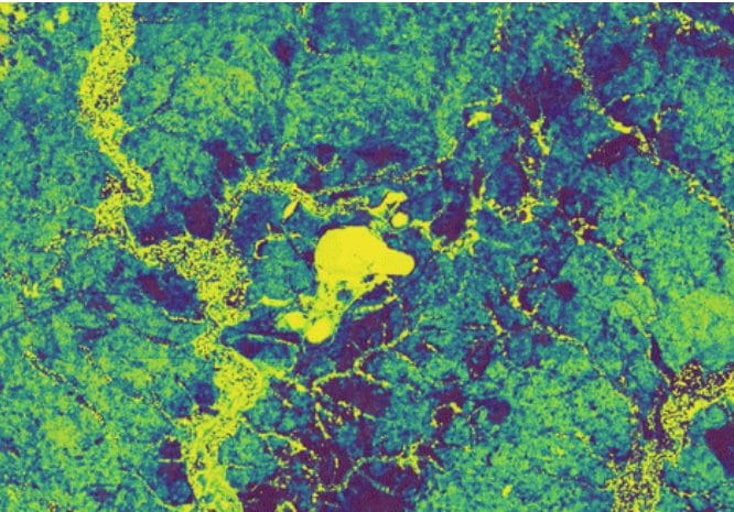
B. Spectral analysis and vegetation indices for crop monitoring
C. Land use and land cover classification
D. Change detection and time-series analysis for agriculture
5. GIS and Remote Sensing Applications in Agriculture
A. Precision agriculture and site-specific crop management
B. Soil mapping and fertility assessment
C. Water resource management and irrigation optimization
D. Crop yield estimation and forecasting
6. Spatial Decision Support Systems for Agriculture
A. Integration of GIS and remote sensing in decision making
B. Modeling and simulation techniques in agricultural planning
C. Spatial analysis for risk assessment and yield optimization
D. Spatial tools for sustainable agricultural practices
7. Case Studies and Practical Applications
A. Real-world examples of GIS and remote sensing in agriculture
B. Hands-on exercises using industry-standard software and tools
C. Field visits or virtual tours to agricultural sites utilizing GIS and remote sensing
8. Emerging Trends and Future Directions
A. Advanced technologies in GIS and remote sensing for agriculture
B. Internet of Things (IoT) and sensor networks in farming
C. Machine learning and artificial intelligence in agricultural applications
D. Ethical considerations and challenges in agricultural data management
9. Geoinfotech Online Test
A. Exam and Assessment
10. Award Of Certificate
A. Certificate
Share this course
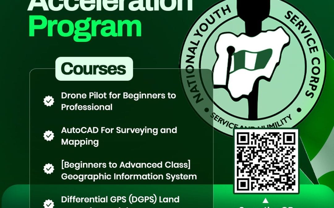
NYSC Career Acceleration Program
The NYSC Career Acceleration Training Program is designed to equip corps members with industry-relevant geospatial and surveying skills that enhance employability, entrepreneurship, and professional competence after service year. The program combines theoretical...

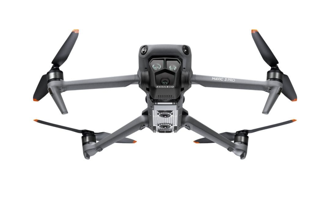
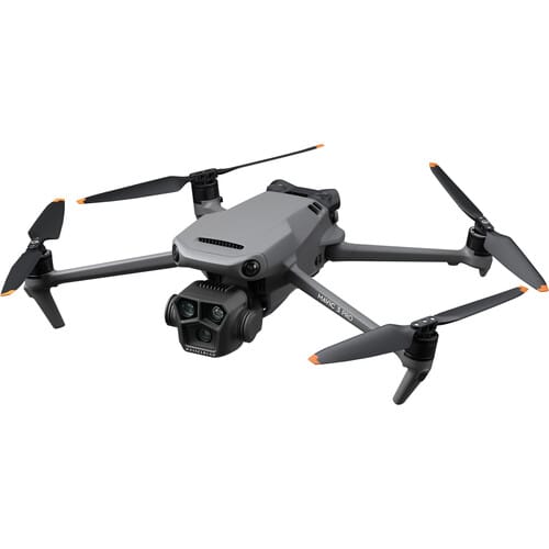
Drone Pilot for Beginners
Professional 3 Weekends ▪ Field Experience 5.0 (100% Practical) ▪ Exam & Certificate


Professional 6-7 Weekends ▪ Field Experience 5.0 (100% Practical) ▪ Exam & Certificate
The course AutoCAD for Land Surveying provides participants with practical skills for applying AutoCAD in survey analysis and plotting. Learners will gain hands-on experience in setting up and using AutoCAD software for survey data analysis, precise plotting, accurate...

Professional Drone Training Exam
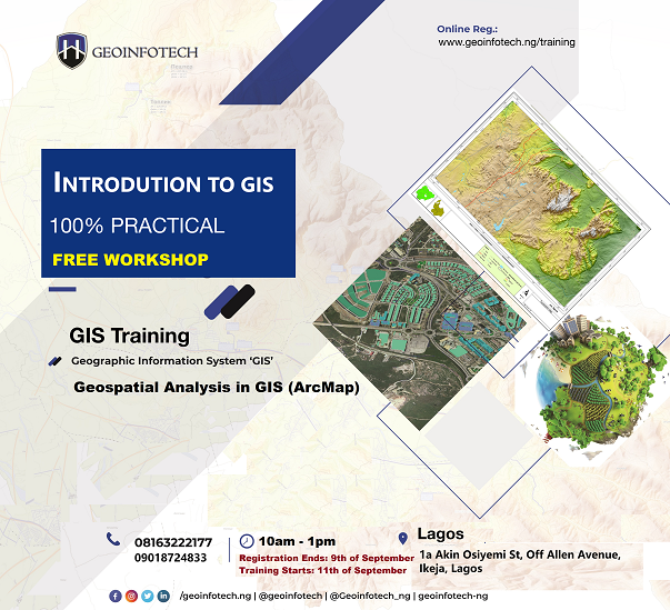
2021 Workshop: Geospatial Analysis in GIS (ArcMap) for Fire Services in Lagos
2021 Workshop on Geospatial Analysis in GIS (ArcMap) for Fire Services in Lagos This analysis helps us on why, where and how many fire services needed to be deployed in Lagos Nigeria. Multicriterial Analysis AHP | Suitability Analysis in GIS Click Here to...

UAV Drone Foundation Exam
Take the drone skills to new heights and train with the Experts at Geoinfotech. Advance your career in Drone Surveying, Photography, 3D Mapping. The next-gen digital learning solution In your own time, learn at your own pace–without taking any time off work....
![[Beginners to Advanced] Geographic Information System (ArcGIS Desktop and ArcGIS Pro)](https://geoinfotech.ng/wp-content/uploads/2020/07/GIS-Online-Training-Geoinfotech-1-1080x675.jpeg)
[Beginners to Advanced] Geographic Information System (ArcGIS Desktop and ArcGIS Pro)
Do you want to learn GIS as a professional with a proper guide online and procedures on executing GIS Projects/Tasks? This introductory course is for you. We have Introduced a step-by-step template, software installation, free data and manual to help you learn and...
![[Beginners to Advanced] AutoCAD for Land Surveying](https://geoinfotech.ng/wp-content/uploads/2025/08/WhatsApp-Image-2025-08-19-at-09.22.28_2dc55c5c-1080x675.jpg)
[Beginners to Advanced] AutoCAD for Land Surveying
The course AutoCAD for Land Surveying provides participants with practical skills for applying AutoCAD in survey analysis and plotting. Learners will gain hands-on experience in setting up and using AutoCAD software for survey data analysis, precise plotting, accurate...
Professional Drone Training Exam
2021 Workshop: Geospatial Analysis in GIS (ArcMap) for Fire Services in Lagos
2021 Workshop on Geospatial Analysis in GIS (ArcMap) for Fire Services in Lagos This analysis helps us on why, where and how many fire services needed to be deployed in Lagos Nigeria. Multicriterial Analysis AHP | Suitability Analysis in GIS Click Here to...
UAV Drone Foundation Exam
Take the drone skills to new heights and train with the Experts at Geoinfotech. Advance your career in Drone Surveying, Photography, 3D Mapping. The next-gen digital learning solution In your own time, learn at your own pace–without taking any time off work....
[Beginners to Advanced] Geographic Information System (ArcGIS Desktop and ArcGIS Pro)
Do you want to learn GIS as a professional with a proper guide online and procedures on executing GIS Projects/Tasks? This introductory course is for you. We have Introduced a step-by-step template, software installation, free data and manual to help you learn and...