
Search for the training you need
At Geoinfotech, we’re committed to supporting your training in geoinformatics and related technologies.
Whether you’re brand-new to ArcGIS, Drone, Surveying and Mapping or a seasoned GIS professional who wants to master the latest technology, we have resources to help you achieve your goals

Physical Training
At Geoinfotech we offer extensive hands-on practical training and field experience for individuals, group or for organizations. Register to explore our courses on Drone, GIS, Remote Sensing, GPS, Python development, advanced analysis tools, and many more.

Online Training
Explore Geoinfotech's online training platform, at home or anywhere you are on Drone, GIS, Remote Sensing, GPS, Python development, advanced analysis tools, and many more. We have developed our online platform to be responsive for easy navigation and professionally recorded for better understanding.
SERVICE LIST
We take your industry to the next level. Support Service Geoinfotech

Drone (Survey, Inspection, Surveillance, and Mapping)

Geographic Information System

Land Surveying

Remote Sensing and Satellite Mapping

Hydrographic Survey (Bathymetry)

Geophysical Survey

Training (Beginners to Advance / Professional)

GeoStore (Buy Products) Hardware / Software
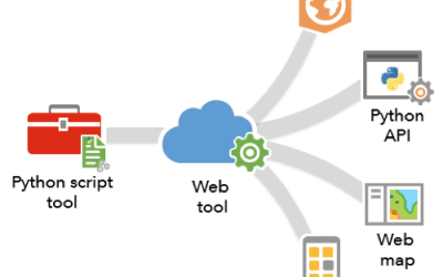
How to Use Python and ArcPy for Automating GIS Workflows in ArcGIS Pro
To automate GIS workflows in ArcGIS Pro using Python and ArcPy, you can write Python scripts that...
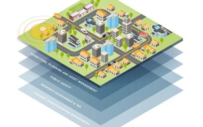
GIS Applications in Supporting SDG Goals
Geographic Information Systems (GIS) are powerful tools that can be used to visualize, analyze,...
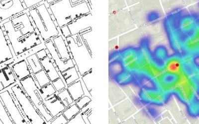
Beyond Maps: Surprising ways GIS impact our world
Geographical Information Systems (GIS) have evolved from simple mapping tools to increasingly...

Data Collection and Integration: Methods, Workflow, and Applications
Data collection and integration are fundamental to modern geospatial analysis, engineering...
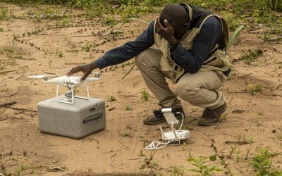
Top 10 Reasons to Become a Certified Drone Pilot in Nigeria
The use of drones, officially known as Unmanned Aerial Vehicles (UAVs), is expanding rapidly...
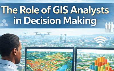
From Data to Decisions: The Role of GIS Analysts in Modern Organizations
Organizations today generate vast amounts of data from population records, infrastructure systems,...