Flood Analysis of Amuwo-odofin Orthophoto.

Abuja GIS Training 12th of August 2022

Osun state parcel project

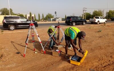
Ground Control and Drone Survey for Mast 3D Modeling

Telecom Drone 3D and 2D Modeling of Cellsite

Free GIS Spatial Analysis Training (Lagos Branch)

800 Building Plots Aerial Capture and Delineation for Database. Greenfield Estate
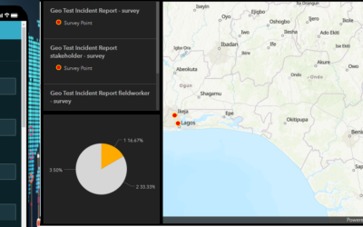
Protected: Nigeria Crime Report and Dashboard
Password Protected
To view this protected post, enter the password below: