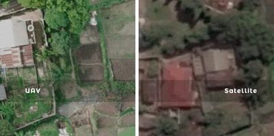
Drone Mapping vs Satellite Imagery: Which is Better? Quick Summary Drone mapping and satellite...


YOU MAY ALSO LIKE...
Drone Mapping vs Satellite Imagery: Which is Better? Quick Summary Drone mapping and satellite...
How Satellite Imagery is Collected and Processed Satellite imagery has transformed the way...
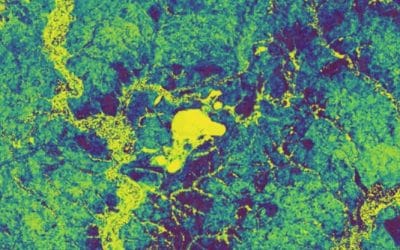
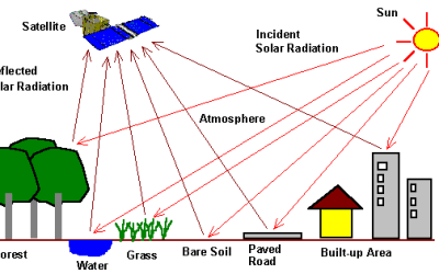
REMOTE SENSING TECHNOLOGY – An Overview 1. Introduction To Remote Sensing Remote sensing is the...

Top Remote Sensing Training Centres in Lagos, Abuja, and Port Harcourt How to Find the Right...
Where to Buy the DJI FlightHub 2 in Lagos, Nigeria Quick Summary Looking for where to buy the DJI...
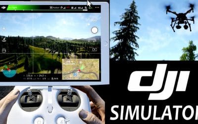
Where to Buy the DJI Flight Simulator in Lagos, Nigeria Quick Summary Looking for where to buy the...