Introduction Land surveying has long been a cornerstone of development, providing the spatial...


YOU MAY ALSO LIKE...
Introduction Land surveying has long been a cornerstone of development, providing the spatial...

Introduction Land is one of Nigeria’s most valuable and sensitive assets, serving as the...

Data collection and integration are fundamental to modern geospatial analysis, engineering...

In emergency situations, time is the most critical factor influencing outcomes. Whether responding...
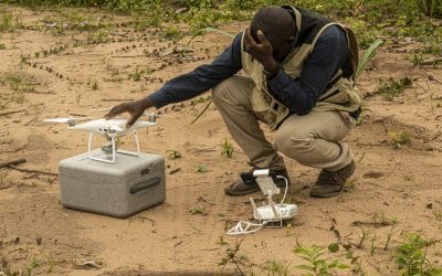
The use of drones, officially known as Unmanned Aerial Vehicles (UAVs), is expanding rapidly...

Organizations today generate vast amounts of data from population records, infrastructure systems,...