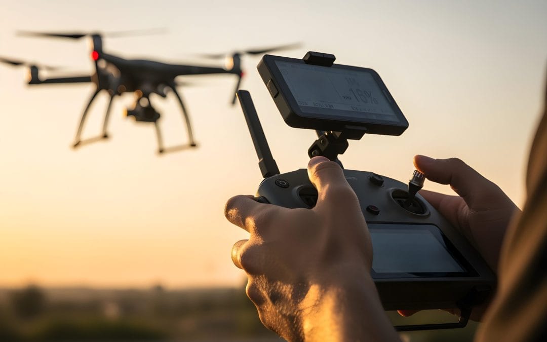
Drone Survey Services in Osun State
Drone Survey Services in Osun State At Geoinfotech, we provide professional drone survey services across Osun State. By combining advanced drone technology with geospatial expertise, we deliver accurate, fast, and cost-effective survey solutions. Unlike many...

IMPORTANCE OF REMOTELY SENSED SATELLITE DATA AND IMAGES
IMPORTANCE OF REMOTELY SENSED SATELLITE DATA AND IMAGES Introduction Remotely sensed satellite data and images have fundamentally transformed the way humanity observes, understands, and manages the Earth's surface and its dynamic processes. From the vast...
Top Remote Sensing Training Centres in Lagos, Abuja, and Port Harcourt.
Top Remote Sensing Training Centres in Lagos, Abuja, and Port Harcourt. How to Find the Right Remote Sensing Training Centres in Nigeria. Choosing the top remote sensing training centres in Nigeria (especially in Lagos, Abuja, and Port-Harcourt) is not as...
[siteorigin_widget class=”wpt_widget”][/siteorigin_widget]
Trending Reviews

REMOTE SENSING ELEMENTS EXPOSITORY
REMOTE SENSING ELEMENTS EXPOSITORY Elements of Remote Sensing Remote Sensing Elements Expository involves various processes, procedures or steps in remote sensing. This, specifically, covers all the stages in remote sensing operation from the initial to the final...
IMPORTANCE OF REMOTELY SENSED SATELLITE DATA AND IMAGES
IMPORTANCE OF REMOTELY SENSED SATELLITE DATA AND IMAGES Introduction Remotely sensed satellite data and images have fundamentally transformed the way humanity observes, understands, and manages the Earth's surface and its dynamic processes. From the vast...

Top Remote Sensing Training Centres in Lagos, Abuja, and Port Harcourt.
Top Remote Sensing Training Centres in Lagos, Abuja, and Port Harcourt. How to Find the Right Remote Sensing Training Centres in Nigeria. Choosing the top remote sensing training centres in Nigeria (especially in Lagos, Abuja, and Port-Harcourt) is not as...

Georeferencing Satellite Imagery
Georeferencing Satellite Imagery Georeferencing is one of the most important processes in GIS and remote sensing. It ensures that satellite imagery aligns correctly with real-world geographic coordinates so that the image can be accurately used for mapping,...

All Categories
GIS and Remote Sensing
News
Drone Mapping
Field Work
Stay Up to Date With The Latest News & Updates
New Discount Training Offer!!
The new advance practical and Field Training starts with lots of software’s and professional Staffs
Join Our Newsletter
Be the first to know whats happening, get free updates on our latest post and amazing offers