Top Remote Sensing Training Centres in Lagos, Abuja, and Port Harcourt
GEOGRAPHIC INFORMATION SYSTEM (GIS) AND GEOSPATIAL TECHNOLOGY IN NIGERIA
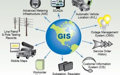
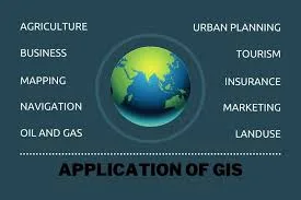
UNDERSTANDING GIS AND GEOSPATIAL TECHNOLOGY
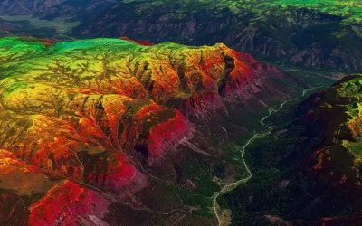
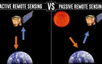
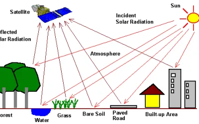
Understanding Remote Sensing

Essential Drone Operation Safety Tips
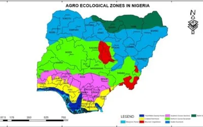
Agroecology Zones in Nigeria
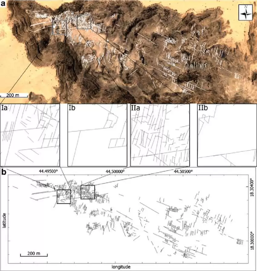
Detecting and Mapping Geological Faults and Fractures for Ore Deposit Using Remote Sensing

Satellite Tracking and GIS: How GIS is Helping to Prevent Collisions in Space