Search for the training you need
At Geoinfotech, we’re committed to supporting your training in geoinformatics and related technologies.
Whether you’re brand-new to ArcGIS, Drone, Surveying and Mapping or a seasoned GIS professional who wants to master the latest technology, we have resources to help you achieve your goals

Physical Training
At Geoinfotech we offer extensive hands-on practical training and field experience for individuals, group or for organizations. Register to explore our courses on Drone, GIS, Remote Sensing, GPS, Python development, advanced analysis tools, and many more.

Online Traning
Explore Geoinfotech's online training platform, at home or anywhere you are on Drone, GIS, Remote Sensing, GPS, Python development, advanced analysis tools, and many more. We have developed our online platform to be responsive for easy navigation and professionally recorded for better understanding.
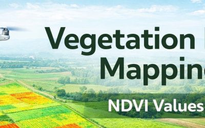
Vegetation Index Mapping: Concept, Methods, and Applications
Vegetation index mapping is a core technique in remote sensing and GIS used to assess vegetation...
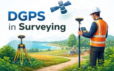
Differential GPS (DGPS) in Surveying: Accuracy, Applications, and Benefits
Accuracy is a core requirement in surveying and geospatial data production. Boundary definition,...
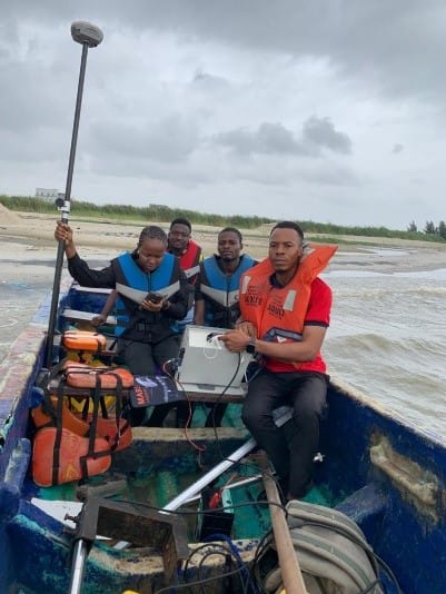
HYDROGRAPHIC SURVEYING
Introduction Introduction Hydrographic surveying, also known as bathymetric surveying, involves...

How to Upgrade Your Surveying Fleet in Lagos, Nigeria (GeoStore Guide 2026)
How to Upgrade Your Surveying Fleet at GeoStore Lagos This March If you’re a surveyor, drone...

What Happens When You Skip Engineering Surveying Before Construction in Lagos, Nigeria
What Happens When You Skip Engineering Surveying Before a Construction Project Imagine starting a...

DJI Dock 3 for Remote Site Monitoring in Lekki Free Trade Zone, Lagos – Is It the Best Solution?
Remote Site Monitoring: Is the DJI Dock 3 the Best Solution for Lekki Free Trade Zone? In a...
SERVICE LIST
We take your industry to the next level. Support Service Geoinfotech

Drone (Survey, Inspection, Surveillance, and Mapping)

Geographic Information System

Land Surveying

Remote Sensing and Satellite Mapping

Hydrographic Survey (Bathymetry)

Geophysical Survey

Training (Beginners to Advance / Professional)

GeoStore (Buy Products) Hardware / Software