Search for the training you need
At Geoinfotech, we’re committed to supporting your training in geoinformatics and related technologies.
Whether you’re brand-new to ArcGIS, Drone, Surveying and Mapping or a seasoned GIS professional who wants to master the latest technology, we have resources to help you achieve your goals

Physical Training
At Geoinfotech we offer extensive hands-on practical training and field experience for individuals, group or for organizations. Register to explore our courses on Drone, GIS, Remote Sensing, GPS, Python development, advanced analysis tools, and many more.

Online Traning
Explore Geoinfotech's online training platform, at home or anywhere you are on Drone, GIS, Remote Sensing, GPS, Python development, advanced analysis tools, and many more. We have developed our online platform to be responsive for easy navigation and professionally recorded for better understanding.
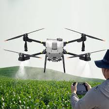
HOW DRONES ARE REVOLUTIONISING CROP MONITORING IN 2026
Have you ever wondered how farmers manage to monitor hundreds of hectares of crops without...

Precision in the FCT: How to Choose the Best GPS Device for Land Survey Projects in Abuja (2026 Guide)
Abuja is one of the fastest-growing cities in Africa, with rapid development across districts such...
Using Maps in Emergencies: How Mapping Saves Time and Lives
In emergency situations, time is the most critical factor influencing outcomes. Whether responding...

Why Accurate Ground Control Points Matter for Your Project And How We’re Making Them Faster
When you commission a drone mapping survey, a cadastral boundary assessment, or an engineering...

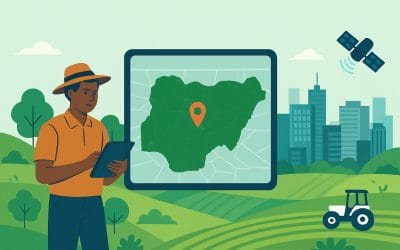
Visualizing Nigeria: A Deep Dive into Land Use and Land Cover (LULC) Dynamics
Understanding our terrain is the first step toward sustainable development. In the realms of...
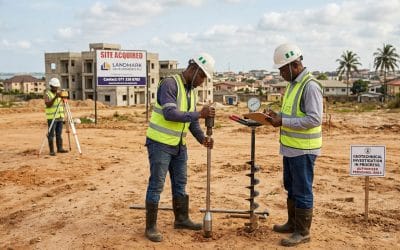
Why Every Real Estate Developer in Nigeria Must Do a Soil Test Before Buying Land
Why Every Real Estate Developer in Nigeria Should Do a Soil Test Before Buying Land Imagine...
SERVICE LIST
We take your industry to the next level. Support Service Geoinfotech

Drone (Survey, Inspection, Surveillance, and Mapping)

Geographic Information System

Land Surveying

Remote Sensing and Satellite Mapping

Hydrographic Survey (Bathymetry)

Geophysical Survey

Training (Beginners to Advance / Professional)

GeoStore (Buy Products) Hardware / Software