

Search for the training you need
At Geoinfotech, we’re committed to supporting your training in geoinformatics and related technologies.
Whether you’re brand-new to ArcGIS, Drone, Surveying and Mapping or a seasoned GIS professional who wants to master the latest technology, we have resources to help you achieve your goals

Physical Training
At Geoinfotech we offer extensive hands-on practical training and field experience for individuals, group or for organizations. Register to explore our courses on Drone, GIS, Remote Sensing, GPS, Python development, advanced analysis tools, and many more.

Online Training
Explore Geoinfotech's online training platform, at home or anywhere you are on Drone, GIS, Remote Sensing, GPS, Python development, advanced analysis tools, and many more. We have developed our online platform to be responsive for easy navigation and professionally recorded for better understanding.
SERVICE LIST
We take your industry to the next level. Support Service Geoinfotech

Drone (Survey, Inspection, Surveillance, and Mapping)

Geographic Information System

Land Surveying

Remote Sensing and Satellite Mapping

Hydrographic Survey (Bathymetry)

Geophysical Survey

Training (Beginners to Advance / Professional)

GeoStore (Buy Products) Hardware / Software
Explore el emocionante casino BC Game en México, donde la diversión y las grandes ganancias están a solo un clic de distancia.
Bienvenido a la experiencia única que ofrece el Casino BC Game México BC Game en México. Este...
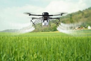
How Agricultural Drone Spraying Works in Nigeria: Flight Planning, Nozzle Selection, Droplet Size, Spray Rate & Weather Conditions
Agricultural drone spraying is changing how farmers apply crop protection products and crop...
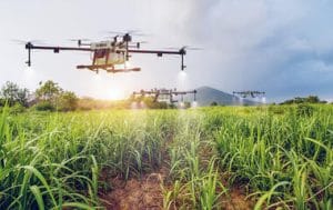
Agricultural Drone Spraying for Rice, Maize, Cassava, Cocoa & Large-Scale Farms in Nigeria
Agricultural drone spraying in Nigeria is changing how farmers apply crop protection products,...

GIS And The Insurance Sector
GIS AND THE INSURANCE SECTOR Geographic Information Systems,...
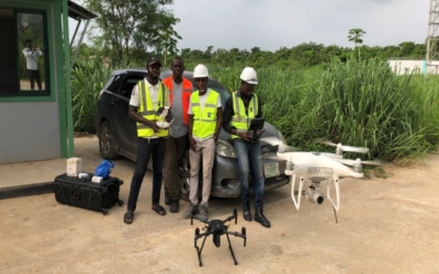
Five Reasons to Choose Aerial Surveying
FIVE REASONS TO CHOOSE AERIAL SURVEYING Aerial Survey is a form of collecting geographical...

GIS Application in Health Sector
GIS APPLICATION IN HEALTH SECTOR GIS Application in Health Sector Health and well-being are...