

Search for the training you need
At Geoinfotech, we’re committed to supporting your training in geoinformatics and related technologies.
Whether you’re brand-new to ArcGIS, Drone, Surveying and Mapping or a seasoned GIS professional who wants to master the latest technology, we have resources to help you achieve your goals

Physical Training
At Geoinfotech we offer extensive hands-on practical training and field experience for individuals, group or for organizations. Register to explore our courses on Drone, GIS, Remote Sensing, GPS, Python development, advanced analysis tools, and many more.

Online Training
Explore Geoinfotech's online training platform, at home or anywhere you are on Drone, GIS, Remote Sensing, GPS, Python development, advanced analysis tools, and many more. We have developed our online platform to be responsive for easy navigation and professionally recorded for better understanding.
SERVICE LIST
We take your industry to the next level. Support Service Geoinfotech

Drone (Survey, Inspection, Surveillance, and Mapping)

Geographic Information System

Land Surveying

Remote Sensing and Satellite Mapping

Hydrographic Survey (Bathymetry)

Geophysical Survey

Training (Beginners to Advance / Professional)

GeoStore (Buy Products) Hardware / Software
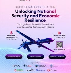
Tech Events Happening This November: Geoinnovation Summit 3.0 Takes Centre Stage in Lagos
Tech Events Happening This November: Geoinnovation Summit 3.0 Takes Centre Stage in Lagos November...
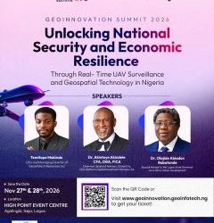
7 Things to Know About Geoinnovation Summit 2026 Before Attending
7 Things to Know About Geoinnovation Summit 2026 Before Attending Nigeria's geospatial and...
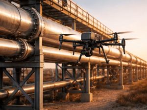
What Exactly Is a Pipeline Right-of-Way (ROW)?
Oil and gas pipelines transport essential resources across long distances. However, pipeline...

GeoStore: GIS Tools For Nigeria
1. The QGIS Topographical Plugin: One-Click Terrain Mastery Running multiple tools for a single...

Mastering Terrain Intelligence: How Geoinfotech’s QGIS Topographical Plugin is Redefining Engineering and Planning
In the modern landscape of civil engineering, urban planning and environmental management, the...

Why Accurate Ground Control Points Matter for Your Project And How We’re Making Them Faster
When you commission a drone mapping survey, a cadastral boundary assessment, or an engineering...