

Search for the training you need
At Geoinfotech, we’re committed to supporting your training in geoinformatics and related technologies.
Whether you’re brand-new to ArcGIS, Drone, Surveying and Mapping or a seasoned GIS professional who wants to master the latest technology, we have resources to help you achieve your goals

Physical Training
At Geoinfotech we offer extensive hands-on practical training and field experience for individuals, group or for organizations. Register to explore our courses on Drone, GIS, Remote Sensing, GPS, Python development, advanced analysis tools, and many more.

Online Training
Explore Geoinfotech's online training platform, at home or anywhere you are on Drone, GIS, Remote Sensing, GPS, Python development, advanced analysis tools, and many more. We have developed our online platform to be responsive for easy navigation and professionally recorded for better understanding.
SERVICE LIST
We take your industry to the next level. Support Service Geoinfotech

Drone (Survey, Inspection, Surveillance, and Mapping)

Geographic Information System

Land Surveying

Remote Sensing and Satellite Mapping

Hydrographic Survey (Bathymetry)

Geophysical Survey

Training (Beginners to Advance / Professional)

GeoStore (Buy Products) Hardware / Software
Sportfogadási esélyek a bet-matches.com felületén és az adatok alapján
Sportfogadási esélyek a bet-matches.com felületén és az adatok alapjánA sportfogadás alapjai és a...
Uitgebreide kansen van online sport via gxbets-nl.nl bieden een unieke ervaring
Uitgebreide kansen van online sport via gxbets-nl.nl bieden een unieke ervaringDe diversiteit van...
Výhody online tradingu a investic s platformou incaspin-cz.cz pro začátečníky i experty
Výhody online tradingu a investic s platformou incaspin-cz.cz pro začátečníky i expertyPochopení...
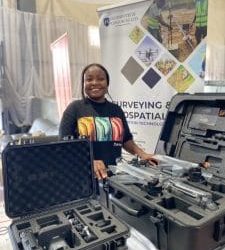
Step-by-Step Guide to Drone Mapping
Introduction to Drone Mapping Drone mapping is a powerful geospatial data collection technique...
GIS Software for Small Survey Firms in Nigeria: What Works Best in 2026
In Nigeria’s evolving surveying landscape, GIS (Geographic Information Systems) is no longer just...
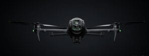
Drone Surveillance in Nigeria: Intelligence-Led Aerial Security for Critical Infrastructure
Nigeria’s Rising Demand for Intelligent Surveillance Nigeria’s rapid urban expansion, growing...