

Search for the training you need
At Geoinfotech, we’re committed to supporting your training in geoinformatics and related technologies.
Whether you’re brand-new to ArcGIS, Drone, Surveying and Mapping or a seasoned GIS professional who wants to master the latest technology, we have resources to help you achieve your goals

Physical Training
At Geoinfotech we offer extensive hands-on practical training and field experience for individuals, group or for organizations. Register to explore our courses on Drone, GIS, Remote Sensing, GPS, Python development, advanced analysis tools, and many more.

Online Training
Explore Geoinfotech's online training platform, at home or anywhere you are on Drone, GIS, Remote Sensing, GPS, Python development, advanced analysis tools, and many more. We have developed our online platform to be responsive for easy navigation and professionally recorded for better understanding.
SERVICE LIST
We take your industry to the next level. Support Service Geoinfotech

Drone (Survey, Inspection, Surveillance, and Mapping)

Geographic Information System

Land Surveying

Remote Sensing and Satellite Mapping

Hydrographic Survey (Bathymetry)

Geophysical Survey

Training (Beginners to Advance / Professional)

GeoStore (Buy Products) Hardware / Software
Everything You Need to Know About What AutoCAD Means
Introduction If you have ever come across technical drawings, architectural plans, engineering...

AutoCAD FOR STRUCTURAL ENGINEERS: WHAT YOU NEED TO KNOW
INTRODUCTION Structural engineering involves much more than calculations. Before a structure can...

EVERYTHING YOU NEED TO KNOW ABOUT AutoCAD SPEEDRUN
INTRODUCTION Want to learn AutoCAD but don't want to spend weeks going through complicated...
The concept behind Global Positioning System
The concept behind Global Positioning System The system is a global navigation satellite system...

Women Pioneers of the Geospatial industry
Women Pioneers of the Geospatial industry Women are known for living for others, and it is the...
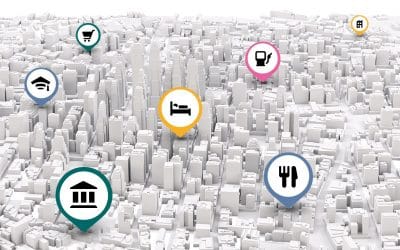
What is Geocoding?
Geocoding is the process of transforming a description of a location such as a pair of...